Foothills Trail - Section A9 to Whitewater Falls - Member Hike
| Hike Name: | Foothills Trail - Section A9 to Whitewater Falls |
|---|---|
| Country: | United States |
| State: | North Carolina |
| Nearby Town: | Cashiers, NC |
| Rating: |  |
| Directions: | From Cashiers, NC, travel south on HWY 107/NC 107 for 7 miles untill you come upon Sloan Bridge Recreation Area on the right hand side. |
| Total Hike Distance: | 11.50 miles |
| Hike Difficulty: | Moderate |
| Permit Required: | No |
| Hike Type: | In & Out, Backtrack Hike |
| Hike Starts/Ends: | Sloan Bridge Parking Area |
| Trails Used: | Foothills Trail |
| Backcountry Campsites: | Yes |
| Backcountry Water Sources: | Streams, Rivers, Lakes |
| Management: | U.S. Forest Service |
| Contact Information: | Foothill Trail Conference PO Box 3041 Greenville, SC 29602 864-467-9537 |
| Best Season: | Winter, Spring, Summer, Fall |
| Users: | Hikers, Dogs |
| Road Conditions: | Primary Paved Roads, Secondary Paved Roads, Maintained Gravel or Dirt Roads, Unmaintained Gravel or Dirt Roads |
| Hike Summary: | The Hike statrted at the Sloan Bridge Area (A9) towards Whitewater Falls (A8). The trail is well marked and maintained with several great spots for camping in the backcountry. There are small streams in the backcountry to gather water, great source on the side trail to Round Mountain. First we set up camp on Grassy Knob several hundred feet off of the trail, and quite secluded. After setting up camp we moved further along the trail to visit Whitewater Falls. The return trip to the camp after visiting the falls can be moderate with some elevation gain. Packed out the second day back to Sloan Bridge. |
Recommended
Trip Reports
There are no Trip Reports yet.


 Trail Map For This Area
One reply on “Foothills Trail - Section A9 to Whitewater Falls - Member Hike”
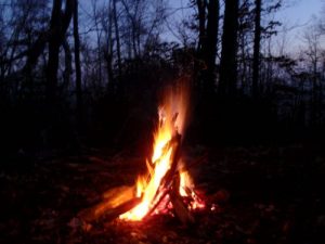
Now that’s a fiiiire!!