Mt. Withington - Cibola National Forest - Member Hike
| Hike Name: | Mt. Withington - Cibola National Forest |
|---|---|
| Country: | United States |
| State: | New Mexico |
| Nearby Town: | Magdalena |
| Rating: |  |
| Directions: | From Socorro, NM, take US 60 west approximately 38 miles; turn south on Forest Service Road 549 (Bear Trap Canyon Road) about 15 miles to Bear Trap Campground. |
| Total Hike Distance: | 16.00 miles |
| Hike Difficulty: | Difficult |
| Permit Required: | No |
| Hike Type: | One-Way, Shuttle Hike |
| Hike Starts: | Bear Trap Campground |
| Hike Ends: | Bear Trap Campground |
| Trails Used: | From Forest Service Trail 38 Trail Head (located on Forest Road 56 in Big Rosa Canyon) -> Forest Road 138 -> Forest Road 138B -> Mt. Withington -> Forest Road 138 -> Forest Trail 37 -> Forest Road 56 |
| Backcountry Campsites: | Yes |
| Backcountry Water Sources: | None |
| Management: | U.S. Forest Service |
| Contact Information: | Cibola National Forest 2113 Osuna Road, NE, Suite A Albuquerque, NM 87113 (505) 346-3900 http://www.fs.fed.us/r3/cibola/districts/magdalena.shtml |
| Best Season: | Spring, Summer, Fall |
| Users: | |
| Road Conditions: | Primary Paved Roads, Secondary Paved Roads, Maintained Gravel or Dirt Roads |
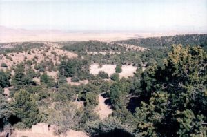
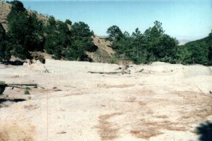
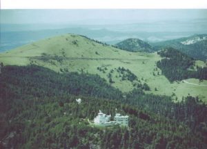
| Hike Summary: | This wilderness was established in 1980, and covers 18,869 acres. It is a remote and desolate area, with very few trails and almost no water. Elevations range from 6,100 feet to slightly over 10,000. Although I have listed the trails used above, good luck following them. This area gets so little trail pressure that the trails are basically non-existent. Essentially you will follow Pototo Canyon to the ridge, which is the location of the Mt. Withington Fire Lookout. Coming back you'll follow Water Canyon. There are a couple of seeps that are wet early in the year, and you will find pools after rainfalls, but thats about it. Practice up your compass and map skills or bring a GPS, because this is no place to be lost. An interesting aside is that you will be able to see the Langmuir lightning research facility at one point, and at another you will see the VLA radio telescope system. Mt. Withington is just southeast of the Plains of San Augustin, and it is an interesting opportunity to use your binoculars to chart a trip on the Plains from the top of the mountain. It is a challenging and demanding trip, but in four trips to the area, I have never seen another hiker. |


There are no comments yet.