| Contact Information: |
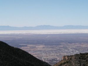
This is a day hike which really puts you in a great position to see a bunch of New Mexico on one quick hike. At maximum elevation, you will be approximately 4,250 feet over the valley floor only a few miles away, and you will be overlooking White Sands National Monument, the world's largest deposit of gypsum, which is actually visible from space. Hiking altitude runs from about 7,000 feet to a little over 9,000 feet, and is primarily low brushy trees, predominately Pinon and Juniper with lots of scrub oak brush. In Winter, the snow and mud are no fun at all, and in Summer, you will bake. Spring or Fall this is one of the best short hikes in southern New Mexico. |
| Hike Summary: |
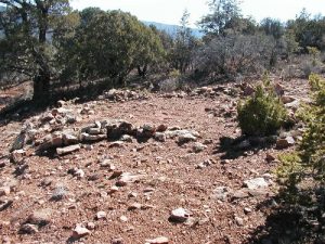
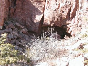
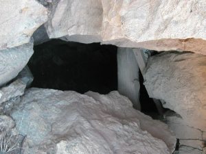
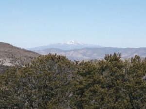
Depart the parking area heading west, and carry plenty of water and emergency survival gear. Brush is not a huge problem, but cactus is at the lower elevations, so be careful. The trail heading west climbs a small rise leading to the peak of the first hill. From the peak, you can see the huge empty space that was once the HQ of a large mining operation. Several foundations and minor diggings are present in the empty spot. There is a great mine just south (1 mile) of the large meadow, and it is worth seeing if you have time. Simply follow the trail slightly north before it winds back west, and you'll be headed right toward Hirschberger. The trail winds very close to a large cliff, so excercise caution at all times. Stay on the trail, and it will lead around the northern shoulder of the peak, and dumps you out on a fairly large flat spot slightly below the peak itself. Your view from here will be 80 miles in any direction in clear weather. White Sands will lie directly west, and north will be Sierra Blanca, the tallest mountain in southern New Mexico, which is also home to a ski run. It isn't possible to simply keep hiking west into Alamogordo, as private property covers the entire western base of the mountain. After a brief rest, retrace your steps down the trail to the large meadow. If you want to see the mine from there, there is a steep and partially overgrown road at the southwestern edge of the meadow which leads due south, and that will take you right to the mine entrance. It was a copper mine originally, and is several stories tall underground. I don't recommend going inside, as the rock formations are loose sandstone that shifts all the time, plus rattlesnakes den there in cool weather. All in all its a great break in hike, or one to try if you don't have the time for an overnighter. I've done this trip several times, and I always see lots of wildlife, and quite often you'll be treated to the sight of gliders from the local soaring club ripping right over your head as they search for thermals to gain altitude. |



There are no comments yet.