Deadman Canyon - Sacramento Mountains - Member Hike
| Hike Name: | Deadman Canyon - Sacramento Mountains |
|---|---|
| Country: | United States |
| State: | New Mexico |
| Nearby Town: | Alamogordo |
| Rating: |  |
| Directions: | Leave Alamogordo heading South down the old El Paso highway. The fourth canyon down is Deadman. Turn East for about 1/2 mile, and park next to the old water tank. |
| Total Hike Distance: | 9.50 miles |
| Hike Difficulty: | No Answer |
| Permit Required: | No |
| Hike Type: | One-Way, Shuttle Hike |
| Hike Starts: | Deadman Canyon Mine Headquarters |
| Hike Ends: | Deadman Canyon Mine Headquarters |
| Trails Used: | No actual trial. Follow the old mine workings |
| Backcountry Campsites: | Yes |
| Backcountry Water Sources: | None |
| Management: | U.S. Forest Service |
| Contact Information: | Lincoln National Forest 1101 New York Ave. Alamogordo, New Mexico 88310 (505) 434-7200 http://www.fs.fed.us/r3/lincoln/ |
| Best Season: | Winter, Spring, Summer, Fall |
| Users: | Hikers, Bikers, Dogs, Horses |
| Road Conditions: | Secondary Paved Roads, Unmaintained Gravel or Dirt Roads, High Clearance Vehicle Recommended |
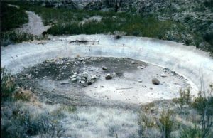
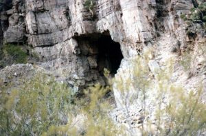
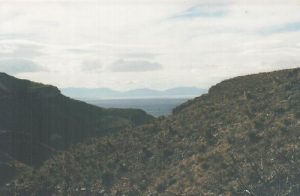
| Hike Summary: | This is an excellent day hike, but not a great overnighter. This canyon had several fairly large mining operations, including a marble quarry. The road would have had to run down a dry stream bed, so the work was done with a cable operated overhead tram car system. Caves, mines and adits are located every few yards down the canyon bed, remains of the tram system are lying everywhere, and nobody goes up there to disturb anything. The entrance to the canyon has the remains of the old mine HQ, including a large corral, water tank, and several foundations of buildings. It is a fairly steep hike, and small trails lead up the sides of the canyon fairly often. The view from the top is excellent, and it is a geologists dream, with rock formations from every era visible. This trip is worth a look just for the geology. |


There are no comments yet.