Ancho Peak - Lincoln National Forest - Member Hike
| Hike Name: | Ancho Peak - Lincoln National Forest |
|---|---|
| Country: | United States |
| State: | New Mexico |
| Nearby Town: | Carrizozo |
| Rating: |  |
| Directions: | Take US 54 North from Carrizozo. Take State Highway 349 East to White Oaks. Take Forest Service road 73 to Warner Gulch. (approx. 45 - 50 miles) |
| Total Hike Distance: | 15.00 miles |
| Hike Difficulty: | Moderate to Difficult |
| Permit Required: | No |
| Hike Type: | Roundtrip, Loop Hike |
| Hike Starts/Ends: | Warner Gulch Parking Area |
| Trails Used: | No Forest Service trails used. Combination of old mining roads and creekbeds. |
| Backcountry Campsites: | Yes |
| Backcountry Water Sources: | Springs |
| Management: | U.S. Forest Service |
| Contact Information: | Lincoln National Forest 1101 New York Ave. Alamogordo, New Mexico 88310 (505) 434-7200 http://www.fs.fed.us/r3/lincoln/ |
| Best Season: | Spring, Summer, Fall |
| Users: | Hikers, Bikers, Dogs, Horses, ATVs |
| Road Conditions: | Primary Paved Roads, Secondary Paved Roads, Maintained Gravel or Dirt Roads |
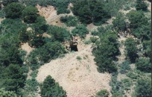
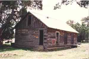
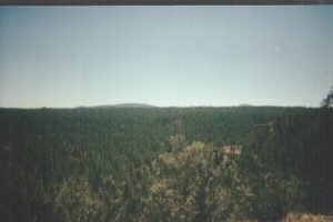
| Hike Summary: | Mining activity in the White Oaks area was confined mostly to two areas: Baxter Mountain, now mostly private property, and Ancho Peak, home of the Jicarilla Mine. The Ancho Peak area is great hiking with the added bonus of mining relics to view. This is a fairly simple hike, which does require a litttle dead reckoning navigation. Follow Warner Gulch heading West until you arrive at the top of Ancho Peak. Mines are scattered along the eastern face of the Peak. Head due West across the Peak, coming down into the canyon system behind. Follow the canyon system southwest to Hog Tank, and then turn East again and walk back to Warner Gulch. Lots of wildlife, including big feral hogs and large Mule deer. Water is available at several animal watering tanks, but thats it. Many mines and several buldings are available for shelter, and plenty of firewood is at hand. A nice mid-altitude hike with lots to see and do. |


There are no comments yet.