Lead Mine Conservation Area - Member Hike
| Hike Name: | Lead Mine Conservation Area |
|---|---|
| Country: | United States |
| State: | Missouri |
| Nearby Town: | Tunas |
| Rating: |  |
| Directions: | |
| Total Hike Distance: | 11.50 miles |
| Hike Difficulty: | Easy to Moderate |
| Permit Required: | No |
| Hike Type: | Roundtrip, Loop Hike |
| Hike Starts/Ends: | Red Loop Parking Lot |
| Trails Used: | Red, orange |
| Backcountry Campsites: | Yes |
| Backcountry Water Sources: | Rivers |
| Management: | State Forest Service |
| Contact Information: | Unknown |
| Best Season: | Winter, Spring, Summer, Fall |
| Users: | Hikers, Horses |
| Road Conditions: | Maintained Gravel or Dirt Roads |
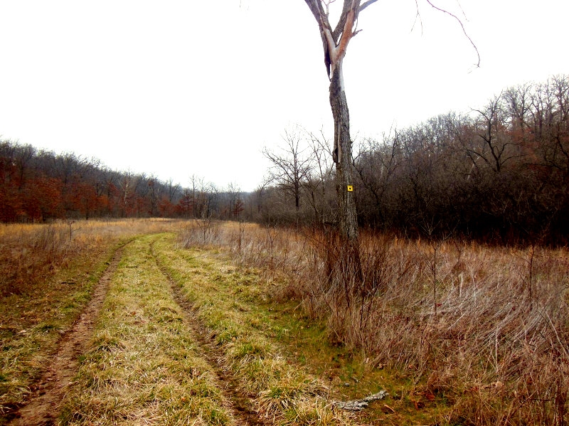
| Hike Summary: | All in all, I very much enjoyed Lead Mine. The scenery can get a bit monotonous at times and it is very typical of Missouri. It would be a great place to go in the summer as most of the trail is very wide to accommodate horses. More at tammyonthetrail.com |


There are no comments yet.