Sugarloaf Mountain - Member Hike
| Hike Name: | Sugarloaf Mountain |
|---|---|
| Country: | United States |
| State: | Michigan |
| Nearby Town: | Marquette |
| Rating: |  |
| Directions: | From Marquette, follow North 4th Street for approximately three quarters of a mile and then continue onto Presque Isle Avenue. After approximately another three quarters of a mile, turn left onto Wright Street. In one half mile, at the traffic circle, take the 1st exit onto Sugar Loaf Avenue and travel another half mile. Turn left onto Big Bay Road. The trailhead parking area will be 3.5 miles on the right. |
| Total Hike Distance: | 1.00 miles |
| Hike Difficulty: | Easy to Moderate |
| Permit Required: | No |
| Hike Type: | In & Out, Backtrack Hike |
| Hike Starts/Ends: | Sugarloaf Trailhead Parking Area |
| Trails Used: | Unnamed Trail |
| Backcountry Campsites: | No |
| Backcountry Water Sources: | None |
| Management: | Other |
| Contact Information: | Marquette County Resource Management and Development Department Division of Planning, Community Development, Forestry, and Recreation 234 West Baraga Avenue Marquette, Michigan 49855 http://www.co.marquette.mi.us/departments/planning/index.php#.W_rNg_ZFxMs |
| Best Season: | Winter, Spring, Summer, Fall |
| Users: | Hikers, Dogs |
| Road Conditions: | Primary Paved Roads |
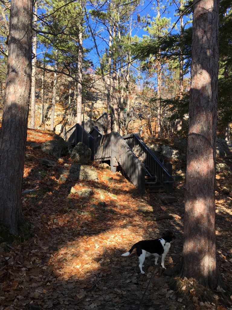
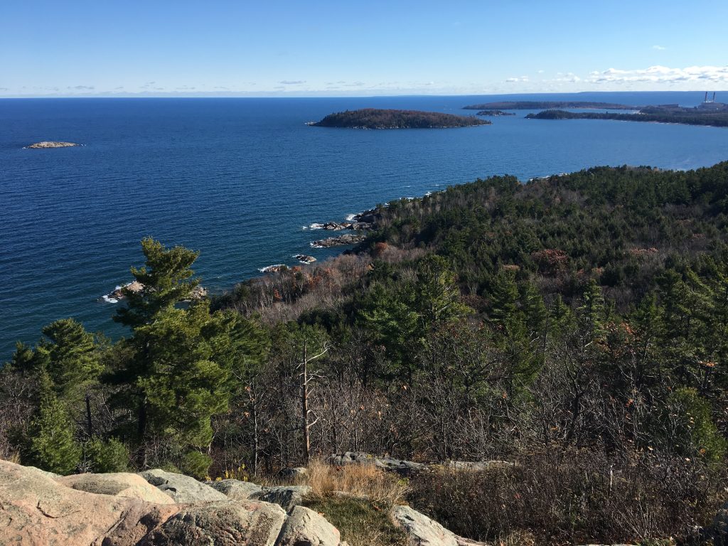
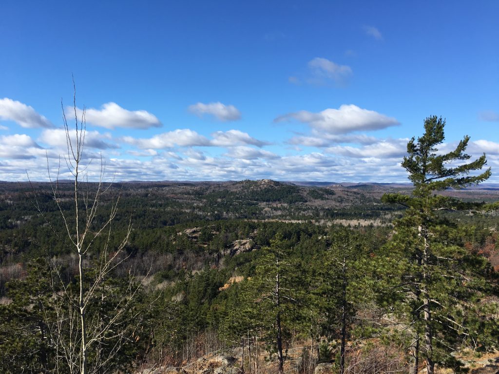
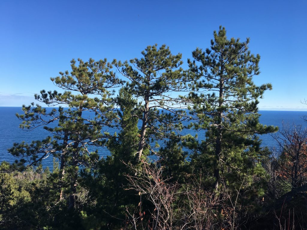
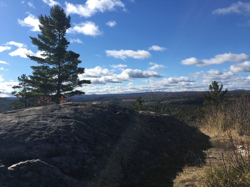
| Hike Summary: | Sugarloaf Mountain provides spectacular views of Lake Superior along the central Upper Peninsula coastline. The hike itself is along a well maintained trail, which includes stairway segments that lead to the summit 470 feet above the lake. There are several viewing platforms and rock outcroppings at the top. |


There are no comments yet.