Michigan Member Hikes
Click the column header to sort by Name, Difficulty, Distance, Rating, or Hiker. Default is by date (descending). You can also follow this link to search for a hiking or backpacking trip.
| Name | Difficulty | Distance | Rating | Hiker | |
|---|---|---|---|---|---|

|
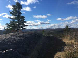
Sugarloaf Mountain | Easy to Moderate | 1.00 miles |  |
Moondoggy |

|
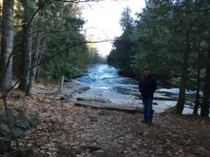
Canyon Falls | Easy | 1.00 miles |  |
Moondoggy |

|
Mount Arvon | Easy | 0.10 miles |  |
Moondoggy |

|
Pictured Rocks National Lakeshore – Little Beaver Lake to Miner’s Castle | Easy | 13.50 miles |  |
Moondoggy |

|
Feldtmann Ridge Trail, Isle Royale National Park | Moderate to Difficult | 38.40 miles |  |
SCguide1 |

|
Minong Ridge Trail + route from Rock Harbor, Isle Royale National Park | Very Difficult | 50.00 miles |  |
SCguide1 |

|
Greenstone Ridge Trail, Isle Royale National Park | Moderate to Difficult | 40.00 miles |  |
SCguide1 |

|
North Country Trail, Freesoil to 9-Mile Bridge | Easy to Moderate | 9.00 miles |  |
sharkbytes |

|
Manistee River Trail Loop | Moderate | 20.00 miles |  |
Tartan1749 |

|
Huron-Manistee National Forest - Leaf Lake | Easy to Moderate | 8.00 miles |  |
The Ox |