Appalachian Trail - Potomac River To High Rocks - Member Hike
| Hike Name: | Appalachian Trail - Potomac River To High Rocks |
|---|---|
| Country: | United States |
| State: | Maryland |
| Nearby Town: | Waynesboro |
| Rating: |  |
| Directions: | (High Rocks) - From I-81 take MD 16 East then turn right onto MD 418. From here, turn left onto Pen Mar Road which leads to Pen Mar County Park. High Rock Road leads directly up from the County Park to High Rocks. |
| Total Hike Distance: | 38.10 miles |
| Hike Difficulty: | Moderate to Difficult |
| Permit Required: | No |
| Hike Type: | One-Way, Shuttle Hike |
| Hike Starts: | Potomac River |
| Hike Ends: | High Rocks |
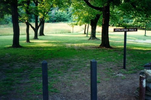
| Trails Used: | Appalachian Trail |
| Backcountry Campsites: | Yes |
| Backcountry Water Sources: | Streams, Springs |
| Management: | Other |
| Contact Information: | The Potomac Appalachian Trail Club 118 Park Street, SE Vienna, VA 22180 703-242-0315 |
| Best Season: | Fall |
| Users: | Hikers, Dogs |
| Road Conditions: | Primary Paved Roads, Secondary Paved Roads |
| Hike Summary: | The Appalachian Trail crosses the Potomac River on a 600 foot long bridge and enters Maryland on the C&O Canal towpath. The C&O Canal began operations in the early 1930's and it was used to by horses to pull barges up the river and transport goods from Georgetown in Washington, D.C. to Harpers Ferry (which was at the edge of the frontier at the time). Weverton Cliffs sit above the C&O towpath and has excellent views down to the Potomac River. A plaque is set in stone on the cliffs for Congressman Goodloe E. Bryan who lived from 1928-1978 and was a great supporter of the A.T. |


There are no comments yet.