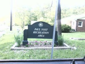
Paul Yost Recreation Area - Member Hike
| Hike Name: | Paul Yost Recreation Area |
|---|---|
| Country: | United States |
| State: | Kentucky |
| Nearby Town: | Fairdale |
| Rating: |  |
| Directions: | From I-65 take the Snyder Freeway west, for 2 miles. Take the exit for Fairdale/National Turnpike, turning left onto National Turnpike. Take a right at the first light onto Fairdale Road. In 3/4 mile, turn right onto Manslick Road, then take an immediate left onto Mitchell Hill Road. In 1 mile, take a left onto Holsclaw Hill Road. Turn left into the Paul Yost area. |
| Total Hike Distance: | 2.75 miles |
| Hike Difficulty: | Moderate |
| Permit Required: | No |
| Hike Type: | Roundtrip, Loop Hike |
| Hike Starts/Ends: | Parking Area |
| Trails Used: | Blue Trail |
| Backcountry Campsites: | No |
| Backcountry Water Sources: | Streams |
| Management: | State Forest Service |
| Contact Information: | Jefferson Memorial Forest Rules Paul Yost Recreation Area 11311 Mitchell Hill Road Fairdale, KY 40118 phone 502/368-5404 www.memorialforest.com www.metro-parks.org |
| Best Season: | Spring, Summer, Fall |
| Users: | Hikers, Dogs |
| Road Conditions: | Primary Paved Roads, Secondary Paved Roads |
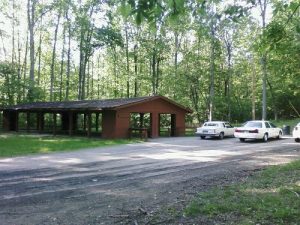
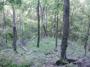
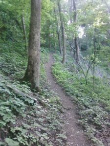
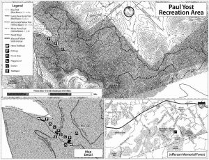
| Hike Summary: | Jefferson Memorial Forest is located just 15 miles from downtown Louisville, and the wilderness covers more than 6,191 acres including the Paul Yost Recreation Area which has a combination of hiking and horse trails within its boundaries. This hike along the Blue Trail starts at the parking area next to the picnic pavillion and follows the path in a clockwise direction cliimbing steeply but rapidly to the ridge. It then loops around a creek at the valley floor and returns to the parking area which may be visible below in winter or spring conditions. Watch the intersecting trails on this hike as their are numerous crossings with the horse trails in the park. |


There are no comments yet.