357 Loop Trail - Member Hike
| Hike Name: | 357 Loop Trail |
|---|---|
| Country: | United States |
| State: | Kansas |
| Nearby Town: | Wayandotte County Park |
| Rating: |  |
| Directions: | Take exit 410 from I-70 W, then follow Speedway Blvd to State Ave. The park is located at N 126th St & State Ave in Bonner Springs, KS |
| Total Hike Distance: | 1.80 miles |
| Hike Difficulty: | Moderate |
| Permit Required: | No |
| Hike Type: | Roundtrip, Loop Hike |
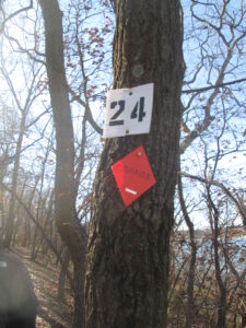
| Hike Starts/Ends: | Marker 25 |
| Trails Used: | 357 Loop Trail |
| Backcountry Campsites: | No |
| Backcountry Water Sources: | Lakes |
| Management: | Other |
| Contact Information: | Wayandotte County Park 126th Street & State Avenue Bonner Springs, KS 66012 (913) 573-8327 |
| Best Season: | Winter, Spring |
| Users: | Hikers, Bikers, Dogs |
| Road Conditions: | Primary Paved Roads, Secondary Paved Roads |
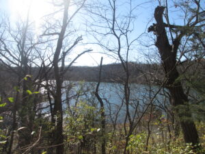
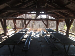
| Hike Summary: | Wyandotte County Park is located west of Kansas City and is situated around a 400-acre lake that bears the same name. The park has 1,500 acres of wooded area, a kids' fishing pond, a large playground, boat rentals, concessions, a bridle trail, an off-leash dog area, archery range, picnic shelters, and F.L. Schlagle Library and Environmental Center. At the park, there are also numerous hiking and biking trails – most situated around Wyandotte County Lake. On our hike we followed the 375 Loop for 1.8 miles which winds along a ridge and down by the south side of the lake. It is a hike that winds mostly through a wooden forest and intersects with some picnic shelters at the ridgeline. |


There are no comments yet.