Whitetail Trail - Member Hike
| Hike Name: | Whitetail Trail |
|---|---|
| Country: | United States |
| State: | Georgia |
| Nearby Town: | Cartersville |
| Rating: |  |
| Directions: | Located 45 minutes north of Atlanta near Cartersville, 1.5 miles east of I-75 exit #285. |
| Total Hike Distance: | 1.00 miles |
| Hike Difficulty: | Easy |
| Permit Required: | Yes |
| Hike Type: | In & Out, Backtrack Hike |
| Hike Starts/Ends: | Lake Allatoona |
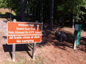
| Trails Used: | Whitetail Trail |
| Backcountry Campsites: | No |
| Backcountry Water Sources: | Lakes |
| Management: | State Park Service |
| Contact Information: | Red Top Mountain State Park 50 Lodge Rd SE Cartersville , GA 30121 Park Office 770-975-0055 |
| Best Season: | Winter, Spring, Summer, Fall |
| Users: | Hikers, Dogs |
| Road Conditions: | Primary Paved Roads, Secondary Paved Roads |
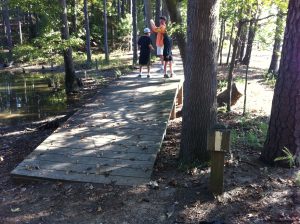
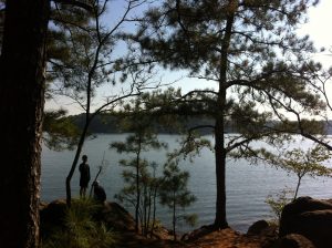
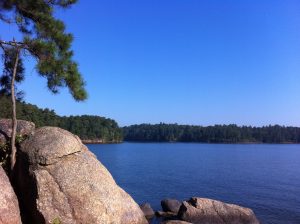
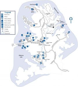
| Hike Summary: | Lake Allatoona was built by the Army Corps of Engineers shortly after the end of World War II and it surrounds the park on three sides. Red Top Mountain State Park is situated on a peninsula jutting north into Lake Allatoona which is fed by the Etowah River to the northeast and Allatoona Creek to the west. This hike on the Whitetail Trail starts at the Red Top Mountain State Park Lodge and follows a white blazed trail for 0.5 miles to a rocky point with 180 degree views out to the lake. It is one of the easier hikes in the park and is convenient to those staying at the Lodge in the northeastern section of the park. Red Top Mountain State Park does not permit backcountry camping, but has 18 cottages, 92 campsites, and even a yurt for overnight use. Pets are allowed at the campsites but not at the cottages, lodge or yurt. The park service also asks that dogs are leashed at all times and that owners clean up after them. No hiking permit is required, but a parking permit/daily use permit is required for the park. The cost was $15 in 2013. |



There are no comments yet.