Three Forks Trail - Member Hike
| Hike Name: | Three Forks Trail |
|---|---|
| Country: | United States |
| State: | Georgia |
| Nearby Town: | Clayton |
| Rating: |  |
| Directions: | From Clayton, take Warwomen Road about 13 miles East to Overflow Creek Road. Follow that about 9 miles. You will see a parking area big enough for 3 to 4 cars with a stone etched with "Three Forks Trail" marking the trail head. |
| Total Hike Distance: | 2.00 miles |
| Hike Difficulty: | Easy to Moderate |
| Permit Required: | No |
| Hike Type: | In & Out, Backtrack Hike |
| Hike Starts/Ends: | Three Forks Trail Head |
| Trails Used: | Three Forks Trail |
| Backcountry Campsites: | Yes |
| Backcountry Water Sources: | Streams, Rivers |
| Management: | None |
| Contact Information: | Unknown |
| Best Season: | |
| Users: | Hikers, Dogs |
| Road Conditions: | Primary Paved Roads, Maintained Gravel or Dirt Roads |
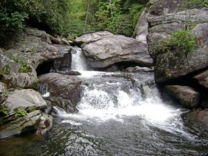
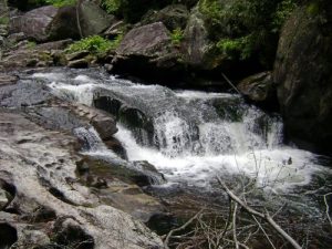
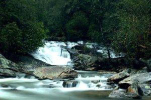
| Hike Summary: | The hike starts on a very well beaten trail. I got the information on this hike from the Falcon Guide Hiking book for Georgia. About 25 minutes into the hike, you come to a fork in the trial that the book didn't speak of, and being a new hiker it threw me for a loop. To the left will take you down a trail to Holcomb Creek were you can see a breath-taking waterfall beneath you. The first time i hiked this trail I thought that this was the end of the trail, but I found out after running into some hikers more experienced with the hike that it continues past the river, but the start of the trail is pretty grown up. Once on the trail it is pretty easy to follow. At the fork in the trail mentioned earlier, go straight to find a large flat clearing good for stopping and taking a breather. You will then see, from the clearing, three more trails. One to the far left. I never explored this trail, so I can't really tell you anything about it. The other two start side by side to the right of clearing as you enter from the main trail. The left of these two trails takes you down to the river. The right takes you to the river as well, further down stream. Both trails (including the one from the first paragraph) get extremely steep as the approach the river. If it is raining, they will probably be impassable. Once at the river, venture about a quarter mile up stream to find the three forks junction. This is one of the most beautiful sites in the entire forrest. The Holcomb, Big, and Overflow creeks all come together at this one spot to for the West Fork of the Chatahoochee River. There is a campsite there as well that is large and well cleared. Remember which trail you came in on, because once at the junction ther are several small trails leading to who knows where. I took the time to follow a couple of them, most of the time they became overgrown and impassable after about half a mile. All in all its a good hike. Very easy to manage except for the steep grades, which are the only thing keeping me from giving this hike a 5 star rating. You will not be let down by the scenery. |


2 replies on “Three Forks Trail - Member Hike”
Your description of the Three Forks Trail in GA is good, but at the end it describes Holcomb, Overflow, and Big Creek forming the west fork Chatahoochee River. This is an error, and the correct river formed at this point is the West Fork of the Chattooga River. This is one of the main tributaries of the Savannah River which flows into the Atlantic Ocean. The Chatahoochee River is on the other side of the eastern continental divide and starts north of Helen, GA and drains into the Gulf of Mexico. Thought your readers might appreciate this info. Thanks for the great trail description! Ryan Hines
DO you think a six year old could manage this trail? Thanks!