Rough Creek - Member Hike
| Hike Name: | Rough Creek |
|---|---|
| Country: | United States |
| State: | Georgia |
| Nearby Town: | Chatsworth |
| Rating: |  |
| Directions: | (USFS 630): From the intersection of GA 52/US 411 in Chatsworth, follow US 411 north for 7.3 miles to Grassy Street. Turn right onto Grassy Street just after the Crandall Post Office. Follow Grassy Street until you cross a set of railroad tracks, then turn right onto Crandall-Ellijay Road. Follow it for only 0.1 miles, then turn left onto Forest Service Road 630 (which is also known as Mill Creek Road). Follow FS 630 (which turns to gravel in about 0.5 miles) for about 9 miles to a four way intersection with Forest Service Road 17. Do not turn onto FS 17, continue straight across FS 17 on FS 630 to find the parking area. |
| Total Hike Distance: | 1.20 miles |
| Hike Difficulty: | Moderate |
| Permit Required: | No |
| Hike Type: | In & Out, Backtrack Hike |
| Hike Starts/Ends: | U.S. Forest Road 630 |
| Trails Used: | Hickory Creek Trail |
| Backcountry Campsites: | Yes |
| Backcountry Water Sources: | Streams, Rivers |
| Management: | U.S. Forest Service |
| Contact Information: | Cohutta Wilderness Area National Forest Service 401 Old Ellijay Road Chatsworth, GA 30705 (706) 695-6736 |
| Best Season: | Winter, Spring, Summer, Fall |
| Users: | Hikers, Dogs, Horses |
| Road Conditions: | Primary Paved Roads, Secondary Paved Roads, Maintained Gravel or Dirt Roads |
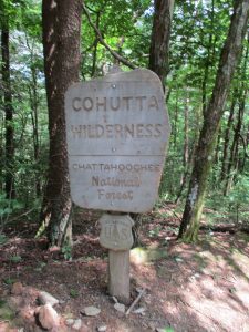
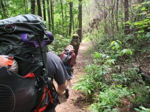
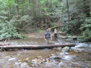
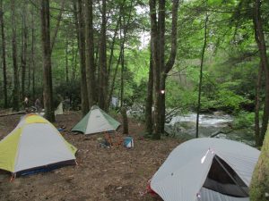
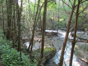
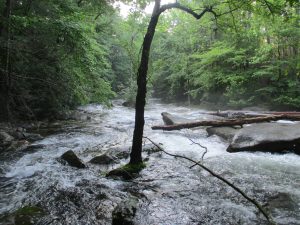
| Hike Summary: | The Cohutta Wilderness at 36,977 acres is the largest National Forest Wilderness in the southeast and combined with the Big Frog Wilderness in Tennessee the area is some of the most pristine and isolated in the South. Both the Conasauga and Jacks Rivers are stocked with trout and have great fishing. There's also numerous sand bars, waterfalls, pools, and campsites along the rivers which makes this a very popular overnight destination. On this hike we followed the Hickory Creek Trail to the junction of the Conasauga and Jacks River Trails. It's just over a mile to the river and there is a campsite where the two trails meet. If you are feeling more ambitious - you can cross the Conasauga and follow the Conasauga River Trail deeper in the wilderness, or turn right on the Jacks River Trail and hike upstream on the Conasauga. Either way, this is beautiful country. |
Recommended
Trip Reports
There are no Trip Reports yet.


One reply on “Rough Creek - Member Hike”
Rivers were dangerous to cross on June 1, 2018 from heavy rains this spring. Likely are better by now with little rain this week.