Hitchiti Trail Loop - Member Hike
| Hike Name: | Hitchiti Trail Loop |
|---|---|
| Country: | United States |
| State: | Georgia |
| Nearby Town: | Atlanta |
| Rating: |  |
| Directions: | From I-75, north on US-23 (near Macon) to GA-18. R on GA-18 for 3 miles. Left on Jarrell Plantation Rd for 1.2 miles. |
| Total Hike Distance: | 3.80 miles |
| Hike Difficulty: | Easy |
| Permit Required: | No |
| Hike Type: | Roundtrip, Loop Hike |
| Hike Starts/Ends: | Jarrell Plantation Rd Parking area |
| Trails Used: | Hitchiti Trail Loop- White Blaze |
| Backcountry Campsites: | No |
| Backcountry Water Sources: | Streams, Rivers |
| Management: | State Forest Service |
| Contact Information: | Forest Management Department 478.751.3485 Georgia Forestry Commission 1-800-GA-TREES P.O. Box 819 badams@gfc.state.ga.us Macon GA 31202 |
| Best Season: | Winter, Spring, Summer, Fall |
| Users: | Hikers |
| Road Conditions: | Primary Paved Roads, Secondary Paved Roads, Maintained Gravel or Dirt Roads |
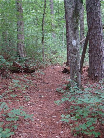
| Hike Summary: | Rock outcroppings, small falls. So easy you can run it. Not a lot of information online about this hike. Interactive map can be found here. http://www.trimbleoutdoors.com/ViewTrip.aspx?tripID=44935&mode=TripMap |
Recommended


Trip Reports
There are no Trip Reports yet.
There are no comments yet.