Broad River Trail - Member Hike
| Hike Name: | Broad River Trail |
|---|---|
| Country: | United States |
| State: | Georgia |
| Nearby Town: | Cornelia |
| Rating: |  |
| Directions: | Very confusing, reccomend using an atlas! 85N to 985N to 365N. Take GA 15 to Cornelia. From Cornelia go east for 11 miles on US HWY 123 (Wyly road) to the Aversville road at the large milliken Plant sign (this is actually the 3rd Aversville road you will pass). 1 mile to unpaved FR 87. You will see a very small sign that says checking station. Go about 3 miles on FR87 to Dicks Creek, you pass the checking station. Trail head is 100 yards beyond dicks creek bridge on the right (easy to miss). |
| Total Hike Distance: | 8.40 miles |
| Hike Difficulty: | Moderate |
| Permit Required: | No |
| Hike Type: | In & Out, Backtrack Hike |
| Hike Starts/Ends: | Dicks Creek |
| Trails Used: | Broad River Trail |
| Backcountry Campsites: | No |
| Backcountry Water Sources: | Rivers |
| Management: | Other |
| Contact Information: | BE SURE TO KNOW THE HUNTING SEASONS! www.gohuntgeorgia.com |
| Best Season: | Winter, Spring, Summer, Fall |
| Users: | Hikers |
| Road Conditions: | Primary Paved Roads, Secondary Paved Roads, Maintained Gravel or Dirt Roads |
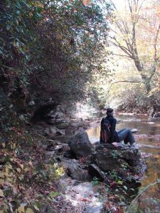
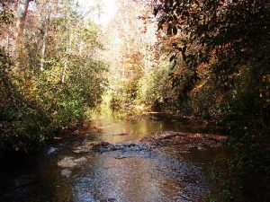
| Hike Summary: | Thr trail starts just above the dicks creek bridge on on the right and is blazed blue. After about .5 miles you start to see rock overhangs, nice place to camp. You will hike under the overhangs and along the river for most of the trail. at about 2 miles you cross a small foot bridge. At 3.5 miles you have to do some rock hopping in the river and under the overhangs. There are several nice places here to stop for a break. Just before the end of the trail you cross another short foot bridge. The trail ends at a parking area where FR87 and FR92 join. From here you can either walk FR87 back to your car (7.1 miles total)or back track the trail (8.4 miles total). |


There are no comments yet.