Black Rock Mountain State Park - Tennessee Rock Trail - Member Hike
| Hike Name: | Black Rock Mountain State Park - Tennessee Rock Trail |
|---|---|
| Country: | United States |
| State: | Georgia |
| Nearby Town: | Mountain City |
| Rating: |  |
| Directions: | Black Rock Mountain State Park is located 3 miles north of Clayton off U.S. Hwy. 441. Look for brown directional signs in Mountain City. After entering Black Rock Mountain State Park, follow the sign toward the Visitor Center. Shortly after that right turn, there will be a parking lot on the right for both Tennessee Rock Trail and James Edmonds Trail trailheads. |
| Total Hike Distance: | 2.20 miles |
| Hike Difficulty: | Moderate |
| Permit Required: | No |
| Hike Type: | Roundtrip, Loop Hike |
| Hike Starts/Ends: | Trailhead Parking Lot |
| Trails Used: | Tennessee Rock Trail |
| Backcountry Campsites: | No |
| Backcountry Water Sources: | Streams |
| Management: | State Park Service |
| Contact Information: | Black Rock Mountain State Park 3085 Black Rock Mountain Parkway Mountain City, Ga 30562 706-746-2141 http://gastateparks.org/BlackRockMountain |
| Best Season: | Spring |
| Users: | Hikers, Dogs |
| Road Conditions: | Primary Paved Roads |
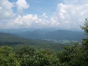
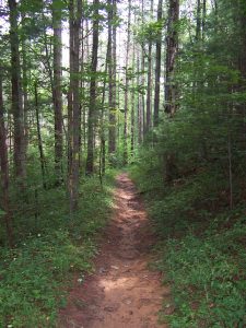
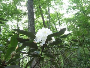
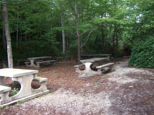
| Hike Summary: | There is a shady picnic area at the parking lot with several concrete picnic tables. The trail for both the Tennessee Rock Trail and the James Edmonds Trail begins at the far end of the picnic area. Within a very short distance, a large sign indicates which trail goes in which direction. The Tennessee Rock Trail takes the left fork. The beginning of the trail can be confusing. There are two more forks in the trail. After the first fork, the trail joins together again quickly before the second fork. The difference in the trial after the first fork is steepness. The left fork is more gradual than the right. Your decision at the second fork will determine which direction you will hike the loop trail. Taking a left a this fork will have you tackling the more difficult portion of the trail first. You will encounter the Tennessee Overlook first and then the Black Rock Mountain summit. Then the trail will follow a more gradual descent through the forest and lush undergrowth. The Tennessee Overlook is the official overlook but there are several breaks in the treeline along this portion of the path that offer outstanding views. The Black Rock Mountain summit is an elevation of 3640 feet. The most distinguished feature along the lower portion of the loop is at Marker 7. The maker post indicates that Marker 7 is 100 feet down a side trail. Here is an area that is marked Fragile Botanical Area with a fence advising hikers to stay on the trail and a nice sitting bench or two. All along the trail are enormous rhododendron bushes. Many are easily 10-12 feet tall. They often form a solid border along the trail. These are supposed to be at peak bloom in high spring. Check the website and Facebook for the latest updates on the bloom. The trail itself is a mostly hard dirt pack. After heavy rains there will be muddy portions, but they are easily avoidable. Portions of the trail are rocky and contain many tree roots, both forming steps and tripping hazards alike. There is one short section of wooden stairs. There were two sources of water along the trail. We saw these after heavy rain, so they may be seasonal. One was a very small seeping type of trickle of water. The other actually had a wooden bridge across it, but could only be called a small stream. |
Recommended
Trip Reports
There are no Trip Reports yet.


There are no comments yet.