Arabia Mountain - Member Hike
| Hike Name: | Arabia Mountain |
|---|---|
| Country: | United States |
| State: | Georgia |
| Nearby Town: | Atlanta |
| Rating: |  |
| Directions: | From Atlanta . Take I-20 East to Exit #74 - Evans Mill Rd/Lithonia. . Turn Right off the ramp onto Evans Mill Road. . At the light continue straight onto Woodrow Dr. (Evans Mill Road turns to the right. Do not turn right!) . Travel on Woodrow Drive for almost 1 mile to stop sign. . Turn right onto Klondike Road and travel approximately 1 mile. . Continue on Klondike Road past Rockland Road. (caution light at intersection) . To park at north parking lot for the nature center: turn right at 2nd driveway . To park at south parking lot: continue on Klondike Road another 1 mile. turn left at entrance drive park here to access the mountain. |
| Total Hike Distance: | 3.00 miles |
| Hike Difficulty: | Moderate |
| Permit Required: | No |
| Hike Type: | Roundtrip, Loop Hike |
| Hike Starts/Ends: | South Parking Lot |
| Trails Used: | Arabia Mountain Trail |
| Backcountry Campsites: | No |
| Backcountry Water Sources: | Lakes |
| Management: | Other |
| Contact Information: | The Arabia Alliance http://www.arabiaalliance.org/vst_trail.html Mary Terry - Park Ranger 770.484.2640 mjterry@co.dekalb.ga.us Tyrone Burkette - Nature Center Ranger 770.484.2642 tlburkette@co.dekalb.ga.us Sherry Dickie - Nature Center Coordinator 770.484.3060 sadickie@co.dekalb.ga.us |
| Best Season: | Winter, Spring, Fall |
| Users: | Hikers, Bikers, Dogs |
| Road Conditions: | Primary Paved Roads, Secondary Paved Roads |
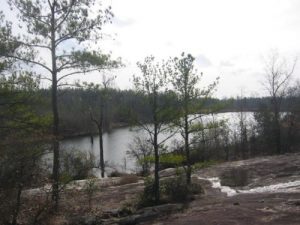
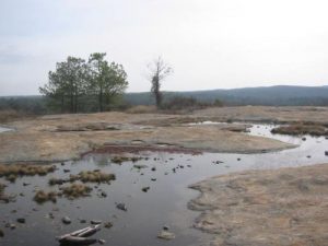
| Hike Summary: | This hike starts at the South Parking Lot at the trailhead near the AWARE office. The route follows the Bradley Peak Trail for 0.6 miles to the top of Bradley Peak (954 feet) where there are outstanding views in all directions. From here it drops gradually and passes slabs and chunks of quarried rock - common in this area - to reach a saddle before climbing to the summit of Arabia Mountain (940 feet). Arabia is slightly lower in elevation than Bradley Peak and doesn't quite have the extensive views, but a private lake can be seen in the distance. Hike down to it then hug the shore line and eventually wind back to the Bradley Peak Trail which loops back to the South parking area and trailhead. |


There are no comments yet.