Allatoona Pass - Member Hike
| Hike Name: | Allatoona Pass |
|---|---|
| Country: | United States |
| State: | Georgia |
| Nearby Town: | Acworth |
| Rating: |  |
| Directions: | 75N to exit 283 Emerson-Allatoona Road. Turn Right off exit. After 1/2 mile veer left and cross the railroad tracks. Follow this road for a total of 1.5 miles. On the left will be the parking lot. Enter through the second driveway. |
| Total Hike Distance: | 3.10 miles |
| Hike Difficulty: | Easy |
| Permit Required: | No |
| Hike Type: | Roundtrip, Loop Hike |
| Hike Starts/Ends: | Allatoona Pass Parking Lot |
| Trails Used: | Allatoona Pass Trail |
| Backcountry Campsites: | No |
| Backcountry Water Sources: | Lakes |
| Management: | State Park Service |
| Contact Information: | Found in 60 hikes within 60 miles of Atlanta book. |
| Best Season: | Winter, Spring, Summer, Fall |
| Users: | Hikers, Dogs |
| Road Conditions: | Primary Paved Roads |
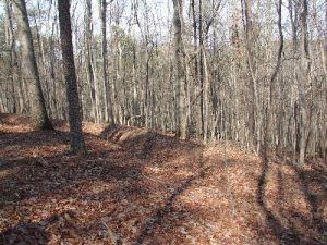
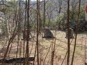
| Hike Summary: | This is a fabulous trail that combines Civil War history with an easy beautiful hike. The trail starts at a memorial to the men who fought in this battle. All along this trail you will run into interpretive signs that tell you what happened during the battle. The trail takes you along an old road up the mountain, to the trenches the men laid and fought in, to the forts where the wall still stand, and then along the old railroad bed by the lake. Absolutely fantastic trail for a lazy stroll. Only one strenuous section up stairs to a fort. But it is extremely short and well worth the climb 🙂 |
Recommended
Trip Reports
| Date | Rating | Duration | Hiker | |
|---|---|---|---|---|

|
April 5, 2009 |  |
2 hours | leslipeterson |

|
April 5, 2009 |  |
2 hours | leslipeterson |

|
February 3, 2008 |  |
2 hours | Drip Dry |


There are no comments yet.