White River National Forest - Rim Lake - Member Hike
| Hike Name: | White River National Forest - Rim Lake |
|---|---|
| Country: | United States |
| State: | Colorado |
| Nearby Town: | Eagle |
| Rating: |  |
| Directions: | From Eagle: Drive approximately eleven miles on I-70 West to the Dotsero Exit and head north for seven miles on the Colorado River Road. You will see signs for Sweetwater, then turn left onto the Sweetwater Creek Road. Follow this road another eleven miles too the trailhead. There is parking here around the Sweetwater Wilderness Ranch. |
| Total Hike Distance: | 10.00 miles |
| Hike Difficulty: | Moderate |
| Permit Required: | No |
| Hike Type: | In & Out, Backtrack Hike |
| Hike Starts/Ends: | Turret Creek Trailhead |
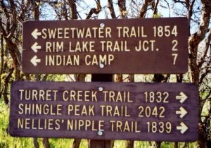
| Trails Used: | Sweetwater, Rim Lake |
| Backcountry Campsites: | Yes |
| Backcountry Water Sources: | Streams |
| Management: | U.S. Forest Service |
| Contact Information: | USDA Forest Service White River National Forest 900 Grand Ave. P.O. Box 948 Glenwood Springs CO 81602 970-945-2521 |
| Best Season: | Summer, Fall |
| Users: | Hikers, Dogs |
| Road Conditions: | Primary Paved Roads, Secondary Paved Roads, Maintained Gravel or Dirt Roads |
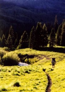
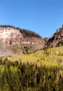
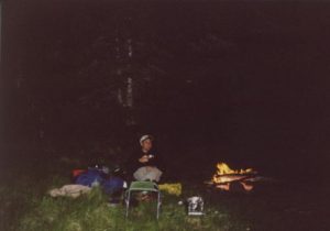
| Hike Summary: | Our hike in the White River National Forest followed the Sweetwater and Rim Lake trails of the Flat Top Wilderness. The Ox and I planned to hike to over 10,000 feet and try some trout fishing at both Shepherd and Rim Lakes, but we were too early in the season and the snow lingered in the upper elevations. We ended up camping along a nice stream at 9500 feet near a large meadow a few miles from the trailhead. |


There are no comments yet.