tundra communities trail - Member Hike
| Hike Name: | tundra communities trail |
|---|---|
| Country: | United States |
| State: | Colorado |
| Nearby Town: | Estes |
| Rating: |  |
| Directions: | From Estes follow highway 34 to the trail ridge road which goes through the rocky mountain national park to the rock cut which is the highest point on the the park road then you will see the parking area which is on the right hand side of road. |
| Total Hike Distance: | 1.00 miles |
| Hike Difficulty: | Easy to Moderate |
| Permit Required: | No |
| Hike Type: | In & Out, Backtrack Hike |
| Hike Starts/Ends: | from parking area with restrooms |
| Trails Used: | Tundra communities trail |
| Backcountry Campsites: | No |
| Backcountry Water Sources: | None |
| Management: | National Park Service |
| Contact Information: | Rocky mountain national park |
| Best Season: | Summer |
| Users: | Hikers |
| Road Conditions: | Secondary Paved Roads |
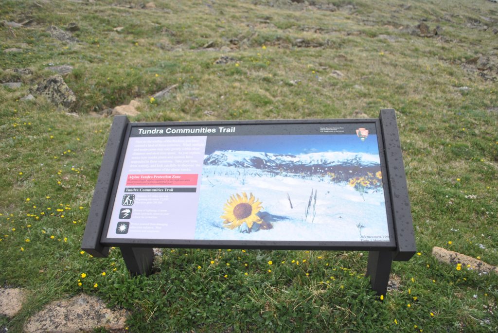
| Hike Summary: | Short hike to the top of the mountain along a paved trail through the tundra. There are several signs along the way which help distract you and provide a great excuse for a short break because climbing at this altitude can be tough for anyone. |


There are no comments yet.