Great Sand Dunes National Park - High & Star Dunes - Member Hike
| Hike Name: | Great Sand Dunes National Park - High & Star Dunes |
|---|---|
| Country: | United States |
| State: | Colorado |
| Nearby Town: | Mosca, CO |
| Rating: |  |
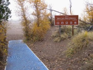
| Directions: | From Mosca, CO go east on County Road 6N 18 miles to junction with CO Hwy 150. Turn left and go 5 miles to Visitor Center. A quarter mile past the Visitor Center turn left into a picnic area. The trail onto the dunes starts on the west side of the picnic area. |
| Total Hike Distance: | 5.00 miles |
| Hike Difficulty: | Moderate |
| Permit Required: | No |
| Hike Type: | In & Out, Backtrack Hike |
| Hike Starts/Ends: | Medano Creek Picnic Area |
| Trails Used: | Make your own. |
| Backcountry Campsites: | No |
| Backcountry Water Sources: | Streams |
| Management: | National Park Service |
| Contact Information: | Great Sand Dunes National Park 11999 Hwy 150 Mosca, CO 81146-9798 719-378-6300 www.nps.gov/grsa |
| Best Season: | Spring, Summer, Fall |
| Users: | Hikers |
| Road Conditions: | Primary Paved Roads, Secondary Paved Roads |
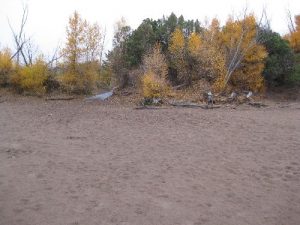
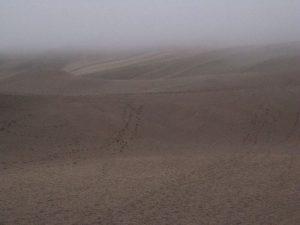
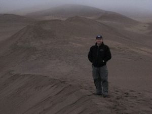
| Hike Summary: | From the trailhead, hike across Medano Creek (often dry in the summer and fall). Once in the sand dunes, you make your own trail. High dune is 1 mile west of the trailhead, but you will likely travel farther as a beeline in the loose sand is very exhausting. Stick to the crests of the dunes and zig-zag your way. Do the same once you get near High Dune -- follow the sand ridge up to the top of the dune (it's 650 feet high). The slopes of the dune are steep and very difficult to make any headway if yo go that way. Once on top of High Dune, you will see Star Dune another 1.5 miles west. It is 750 feet high -- the highest sand dune in the country. Follow the same technique to Star Dune -- zig-zag from the crest of one dune to another. Return the same way (not likely!). |


There are no comments yet.