Castle Rock - Member Hike
| Hike Name: | Castle Rock |
|---|---|
| Country: | United States |
| State: | Colorado |
| Nearby Town: | Castle Rock |
| Rating: |  |
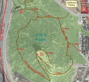
| Directions: | The main trailhead parking lot, with a portable restroom, is located on Front Street. Additional parking is available at Castle North Park. On-street parking is allowed on Canyon and Sunset drives. |
| Total Hike Distance: | 1.40 miles |
| Hike Difficulty: | Moderate |
| Permit Required: | No |
| Hike Type: | In & Out, Backtrack Hike |
| Hike Starts/Ends: | Front Street Trailhead |
| Trails Used: | John Emerson Summit Trail |
| Backcountry Campsites: | No |
| Backcountry Water Sources: | None |
| Management: | City Park Service |
| Contact Information: | Castle Rock Park 1710 Front Street Castle Rock, CO 80104 parks@CRgov.com 303-814-7444 720-733-2260 |
| Best Season: | Winter, Spring, Summer, Fall |
| Users: | Hikers |
| Road Conditions: | Primary Paved Roads |
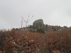
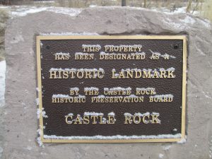
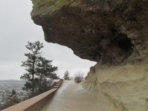
| Hike Summary: | This is a short hike in Castle Rock Colorado that has outstanding views of the town and the mountains to the West. You can hike to "The Rock" and walk around the base or if you are feeling adventurous scramble to the top. There is a 370-foot elevation difference from the bottom to top (6,220 feet to 6,590 feet). |


There are no comments yet.