Yosemite National Park - Hoover Wilderness - Member Hike
| Hike Name: | Yosemite National Park - Hoover Wilderness |
|---|---|
| Country: | United States |
| State: | California |
| Nearby Town: | Bridgeport, CA |
| Rating: |  |
| Directions: | Bridgeport is on US Hwy 395 18 miles north of Mono Lake and 25 miles north of the junction of the Tioga Road in Yosemite NP and Hwy 395. In Bridgeport, go west on the Twin Lakes Rd. for 14 miles to Mono Village. There is an RV camp west of the village. The trail head and parking for hikers is at the west end of the RV camp. |
| Total Hike Distance: | 50.00 miles |
| Hike Difficulty: | Moderate to Difficult |
| Permit Required: | Yes |
| Hike Type: | Roundtrip, Loop Hike |
| Hike Starts/Ends: | Mono Village, Twin Lakes |
| Trails Used: | Robinson Creek, Kerrick Meadow, Pacific Crest Trail, Matterhorn Canyon, Slide Canyon, Crown Point. |
| Backcountry Campsites: | Yes |
| Backcountry Water Sources: | Streams |
| Management: | National Park Service |
| Contact Information: | Yosemite National Park US Forest Service Toiyabe National Forest |
| Best Season: | Summer |
| Users: | Hikers |
| Road Conditions: | Primary Paved Roads, Secondary Paved Roads, Maintained Gravel or Dirt Roads |
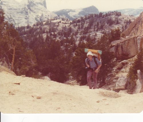
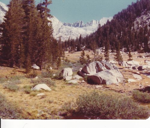
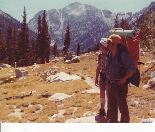
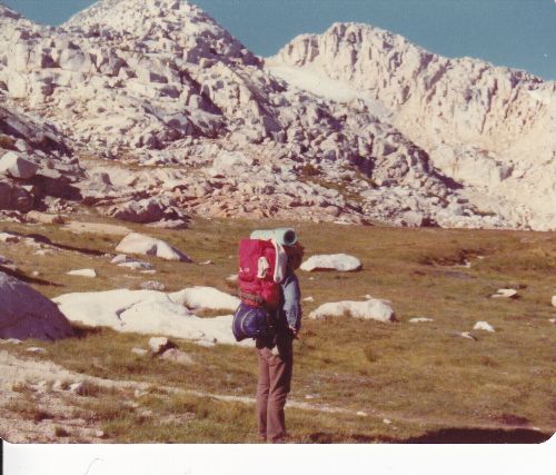
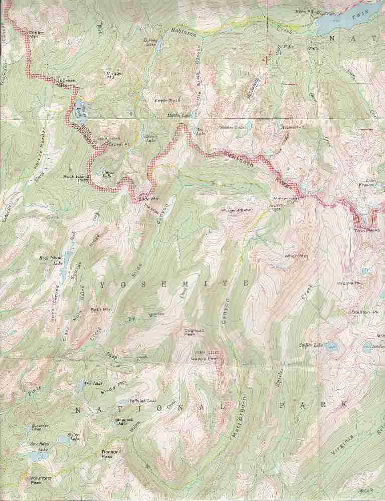
| Hike Summary: | Trail from Mono Village campground follows Robinson Creek in a 1300' ascent over 4 miles to Barney Lake. The trail is in timber for the fist 1.5 miles, then open sagebrush for 2 miles, before coming back into the timber. Barney Lake is at 8400' elevation with timber at the lower end and an open boggy area at the upper end. Past Barney Lake, the trail ascends 1100' over 3 miles in a well wooded area to Peeler Lake. Peeler Lake is eye-popping beautiful -- crystal clear and bounded by the granite rocks so common to the Sierras. Past Peeler Lake, the trail enters Yosemite National Park and descends into Kerrick Meadow which at this point is a lovely alpine meadow, but a very fragile environment -- traffic easily wears the trail deeply in this place. Five miles down Kerrick Canyon, the trail descends only 300' and you get back into some timber near Arndt Lake. From Arndt Lake, the trail descends a further 400' over 2.5 miles before the junction with the Pacific Crest Trail. Turn left onto the PCT and its another mile and 400' up to the top of Seavey Pass, with Piute Mountain towering over you. From the pass, it is 1200' down over 2 miles to Benson Lake. Benson Lake has a sizable designated backcountry camping area, and can often be crowded, given that it is a favorite turnaround point for backpackers coming not only from Hoover Wilderness, but also Tuolumne Meadows and Hetch Hetchy. From Benson Lake, follow the PCT east 5 miles to Smedberg Lake (a 1500' climb). A beautiful rockbound lake, Smedberg, at 9500' elevation is right at the boundary of the alpine zone. Continue up another 2.5 miles (and 700' more elevation) to Benson Pass. From Benson Pass, the PCT descends 1800' over 3 miles into Wilson Creek Canyon to its junction with Matterhorn Canyon. Two miles north up Matterhorn Canyon, the PCT takes off to the right. Continue up Matterhorn Canyon 6.5 miles to Burro Pass. This is a 2100' ascent, but is steady throughout the hike up Matterhorn Canyon, so it is not as tough as it could be. The upper half of this trail gradually leaves the timber and comes out into the open alpine zone. Burro Pass, at 10650' is the highest point of this hike. From Burro Pass, the trail descends into Slide Canyon 1000' over 3 miles. On the far side of Slide Canyon, the trail climbs 1000' and passes through a notch below Slide Mountain, and re-enters the Hoover Wilderness, passing across the slope of Crown Point, and then descends 1200' over 1.5 miles to Crown Lake, before descending another 1000' over 3 miles back to Barney Lake. Follow the Robinson Creek trail from Barney Lake for the last 1300' descent over 4 miles into Mono Village. |


There are no comments yet.