Torrey Pines State Reserve - Yucca Point/Red Butte - Member Hike
| Hike Name: | Torrey Pines State Reserve - Yucca Point/Red Butte |
|---|---|
| Country: | United States |
| State: | California |
| Nearby Town: | La Jolla |
| Rating: |  |
| Directions: | Torrey Pines State Reserve is located between La Jolla and Del Mar, California, north of San Diego. From Hwy 5, exit on Carmel Valley Road and drive west for about 1.5 miles till you reach the Coast Highway 101. Turn left and proceed along the beach for about a mile. The park entrance is on your right just before the highway begins to climb the Torrey Pines grade. |
| Total Hike Distance: | 1.50 miles |
| Hike Difficulty: | Easy to Moderate |
| Permit Required: | No |
| Hike Type: | One-Way, Shuttle Hike |
| Hike Starts: | Visitor's Center |
| Hike Ends: | Visitor's Center |
| Trails Used: | Razor Point Trail, Yucca Point Trail |
| Backcountry Campsites: | No |
| Backcountry Water Sources: | None |
| Management: | State Park Service |
| Contact Information: | Dept. of Parks and Recreation 1416 9th Street Sacramento, CA 95814 P.O. Box 942896 Sacramento, CA 94296 Torrey Pines State Park: 858-755-2063 |
| Best Season: | Winter, Spring, Summer, Fall |
| Users: | Hikers |
| Road Conditions: | Primary Paved Roads, Secondary Paved Roads |
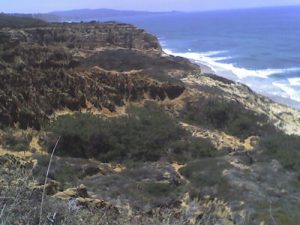
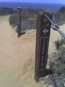
| Hike Summary: | This loop hike starts in the parking area across from the visitor's center and follows the Razor Point Trail to an overlook bearing the same name with panoramic views in all directions and out to the ocean. From here, the route picks up the Yucca Point Trail and heads south to a wooden platform on the edge of a cliff. Climb from this point back to the parking area across from the Visitor's Center to complete the loop. |


There are no comments yet.