Mount Whitney - Member Hike
| Hike Name: | Mount Whitney |
|---|---|
| Country: | United States |
| State: | California |
| Nearby Town: | Lone Pine |
| Rating: |  |
| Directions: | Off of US-395/Main Street in the center of Lone Pine, California, turn onto Whitney Portal Road. Stay on Whitney Portal Road for approximately 12 miles until you reach Whitney Portal. |
| Total Hike Distance: | 22.00 miles |
| Hike Difficulty: | Moderate to Difficult |
| Permit Required: | Yes |
| Hike Type: | In & Out, Backtrack Hike |
| Hike Starts/Ends: | Whitney Portal |
| Trails Used: | Mount Whitney Trail |
| Backcountry Campsites: | No |
| Backcountry Water Sources: | Streams, Lakes |
| Management: | U.S. Forest Service |
| Contact Information: | Eastern Sierra InterAgency Visitor Center US-395 and SR-136 Lone Pine, California 93545 Phone: 760-876-6200 http://www.fs.usda.gov/recarea/inyo/recarea/?recid=20698 |
| Best Season: | Spring, Summer, Fall |
| Users: | Hikers |
| Road Conditions: | Primary Paved Roads, Secondary Paved Roads |
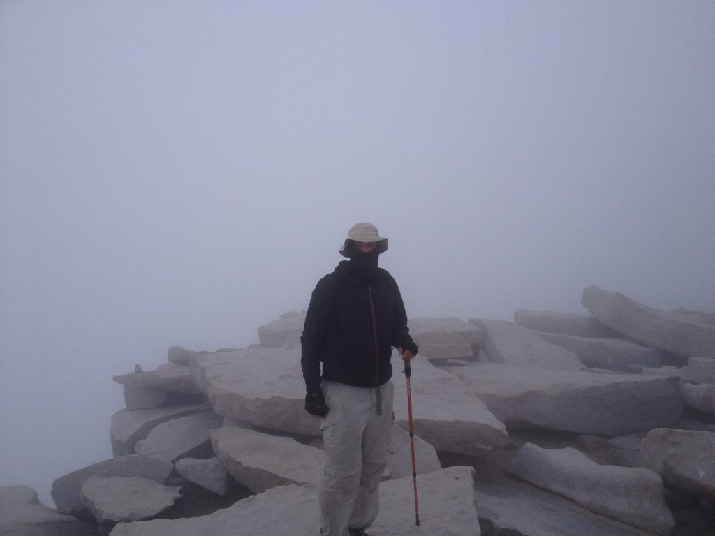
| Hike Summary: | At 14,500 feet (+/-), Mount Whitney is the highest summit in the contiguous United States. The peak rises more than 10,770 feet, or just over two miles, above the town of Lone Pine, California located in Owens Valley to the east. The west slope is located in Sequoia National Park and the east slope is located in Inyo National Forest. The upper flanks of its east slope are also located in the John Muir Wilderness Area of Inyo National Forest. Various sources list different elevations for the peak. While most appear to indicate 14,494 feet, some list it as high as 14,508 feet. The USGS benchmark at the summit indicates the former, while another plaque, also located at the summit, lists the elevation as 14,496.811 feet (see the first photo under the 07/25/2013 trip report below). The current elevation as published by the National Geodetic Survey (NGS) and National Oceanic and Atmospheric Administration (NOAA) puts it at 14,505 feet. I’m persuaded to use 14,500 feet based in part on the detailed commentary provided in an interesting write-up I found on the Angeles Chapter of the Sierra Club’s website (look it up if you are so inclined), but more so because it’s a nice round number that appears to be close to the average of all of the published values. This particular hike makes its way to the summit via the Mount Whitney Trail, which starts at Whitney Portal near elevation 8,360 feet. From Whitney Portal, the trail maintains a southwest bearing as it follows the main branch of Lone Pine Creek to its source near the upper base camp know as Trail Camp. From Trail Camp, the trail traverses a series of 97 switchbacks as it rises to the Sierra Crest approximately 2.5 miles south of the summit. The trail then heads nearly due north via the ridge crest until reaching the summit plateau. The summit is then gained via a short easy stroll along the summit plateau. |


Recommended


Trip Reports
| Date | Rating | Duration | Hiker | |
|---|---|---|---|---|

|
July 25, 2013 | |
1 day | Moondoggy |

|
July 24, 2013 | |
1 day | Moondoggy |
There are no comments yet.