| Hike Summary: |
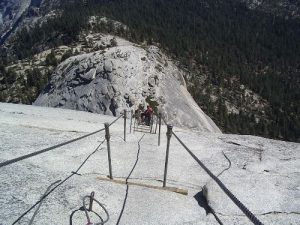
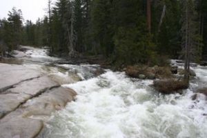
Starting from Happy Isles trailhead, hike an easy-moderate half mile or so to the junction with the Mist Trail. Follow the Mist Trail steeply up past Vernal and Nevada Falls (passing 2 outhouses on the way). Walk a flat half mile through Little Yosemite Valley, past the Backpacker's campsite and the last reliable water source (the Merced River). Follow moderately graded trail up through the forest to the junction with the Half Dome spur trail. Reach the shoulder of Half Dome and climb steeply up granite steps to the base of the cables. The last 900 feet of trail consists of a 45 degree exposed granite slab, climbed with the assistance of two metal cables. Gloves are recommended (or use the ones left at the base of the cables by previous hikers). Recommend starting this hike by 6:00 a.m. as it can get very crowded later in the day. The final ascent up the shoulder and the cables may not be recommended for people with fear of heights. Total distance approximately 16 miles, 5000 ft. elevation gain. |


There are no comments yet.