Death Valley National Park – Badwater Basin - Member Hike
| Hike Name: | Death Valley National Park – Badwater Basin |
|---|---|
| Country: | United States |
| State: | California |
| Nearby Town: | Las Vegas, Nevada |
| Rating: |  |
| Directions: | From I-15 in Las Vegas, take exit 33 onto NV-160 W/Blue Diamond Road. Drive just over 37 miles and turn left onto Tecopa Road. Drive approximately 22 miles and continue onto Old Spanish Trail. Continue for approximately 17 miles, and then turn right onto CA-127 N and drive for 10 miles. Turn left onto CA-178/Jubilee Pass Road. Drive 25 miles and continue onto Badwater Road. Continue for another 33 miles or so to reach Badwater Basin. |
| Total Hike Distance: | 1.00 miles |
| Hike Difficulty: | Easy |
| Permit Required: | No |
| Hike Type: | In & Out, Backtrack Hike |
| Hike Starts/Ends: | Parking Area |
| Trails Used: | Not Applicable |
| Backcountry Campsites: | No |
| Backcountry Water Sources: | None |
| Management: | National Park Service |
| Contact Information: | Death Valley National Park P.O. Box 579 Death Valley, CA 92328 Phone: 760-786-3200 http://www.nps.gov/deva/index.htm |
| Best Season: | Summer |
| Users: | Hikers |
| Road Conditions: | Primary Paved Roads |
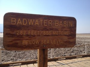
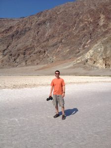
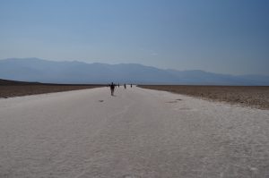
| Hike Summary: | This particular hike is an easy out and back stroll across a portion of the salt flats in Badwater Basin, the lowest point in North America. At 282 feet below seal level, the salt flats cover nearly 200 square miles. They are too harsh for most plants and animals to survive, yet are quite fragile. Delicate crystals are easily crushed and the relatively thin upper crust of salt can break through to the mud layer below. The terrain is nearly flat as flat can get, but the temperatures are practically unbearable during the summer months. |


There are no comments yet.