Chino Hills State Park-West-Rim Crest Drive Entrance - Member Hike
| Hike Name: | Chino Hills State Park-West-Rim Crest Drive Entrance |
|---|---|
| Country: | United States |
| State: | California |
| Nearby Town: | Yorba Linda |
| Rating: |  |
| Directions: | From 91 Fwy Exit Imperial HWY. Head North, |
| Total Hike Distance: | 10.00 miles |
| Hike Difficulty: | Easy to Moderate |
| Permit Required: | No |
| Hike Type: | Roundtrip, Loop Hike |
| Hike Starts/Ends: | Rim Crest Drive Trailhead |
| Trails Used: | South Ridge, Telegraph Canyon |
| Backcountry Campsites: | No |
| Backcountry Water Sources: | Streams |
| Management: | State Park Service |
| Contact Information: | Chino Hills State Park 1879 Jackson Street Riverside, CA 92504 (909)780-6222 |
| Best Season: | Winter, Spring, Fall |
| Users: | Hikers, Bikers |
| Road Conditions: | Primary Paved Roads |
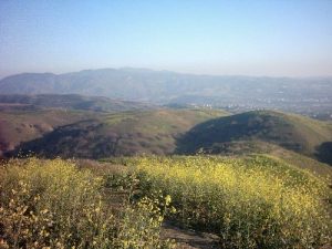
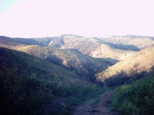
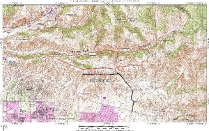
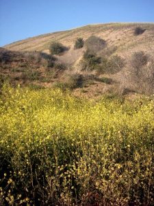
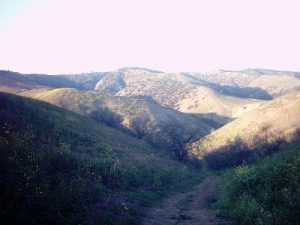
| Hike Summary: | Chino Hills state park is a hidden gem. I just discovered it looking for a nearby place to train on weeknights. What you get here are more than just rolling hills and rustling grasses, but a varied eco-system with several routes to suit your skill and time level. Despite it’s “urban” location, you will more than likely experience little to no traffic on the trails. The information here is related solely to the West-end of the park, which lies North of Yorba-Linda. The park is rather large and has quite a number of trails. A word of caution however, Mountain bikers tend to ignore the rules restricting them from riding on single track trails. Other than those few exceptions the wide trails provide more than adequate room for everyone. The trailhead lies at the end of Rimcrest Drive in Yorba Linda. This is the only in-out at this end of the park. From the trailhead you enter through a gate and are now on the "South Ridge " trail. From here you can set out on a number of loop hikes. If you continue north past the bulletin board you can descend into Telegraph canyon via the Easy Street trail. This is the easiest way to loop in either direction. Looping West on South ridge and descending Telegraph Canyon via the Diemer trail, then returning up Easy Street would be a challenging uphill trek. I will make an attempt to upload a decent map, as that would give a better sense of your possibilities here. I will use the trip log to highlight variations that I have done and their actual mileages. I have a few good suggestions on localhikes.com, which include a map. You can look up Yorba Linda under search by location. |
Recommended
Trip Reports
| Date | Rating | Duration | Hiker | |
|---|---|---|---|---|
|
February 24, 2006 |  |
2 hours | TomSneath |
|
February 22, 2006 |  |
1 hour, 10 minutes | TomSneath |



There are no comments yet.