Annadel State Park - Member Hike
| Hike Name: | Annadel State Park |
|---|---|
| Country: | United States |
| State: | California |
| Nearby Town: | Santa Rosa, CA |
| Rating: |  |
| Directions: | From downtown Santa Rosa, follow CA Hwy 12 east toward Sonoma for 7 miles. Turn right onto the road to Annadel State Park. The parking lot at the trailhead is about 0.5 mile from Hwy 12. |
| Total Hike Distance: | 7.40 miles |
| Hike Difficulty: | Easy to Moderate |
| Permit Required: | No |
| Hike Type: | Roundtrip, Loop Hike |
| Hike Starts/Ends: | North Parking Lot |
| Trails Used: | Lake Trail, Louis Trail, Steve's S Trail, Marsh Trail, Two Quarry Trail |
| Backcountry Campsites: | No |
| Backcountry Water Sources: | Streams, Lakes, Springs |
| Management: | State Park Service |
| Contact Information: | California Dept of Parks and Recreation Sonoma Area PO Box 167 Sonoma, CA 95476 |
| Best Season: | Winter, Spring, Summer, Fall |
| Users: | Hikers, Horses |
| Road Conditions: | Primary Paved Roads, Secondary Paved Roads |
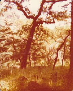
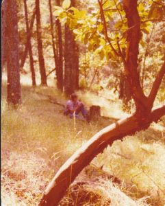
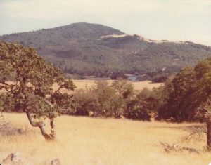
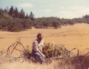
| Hike Summary: | Annadel State Park is a nice cross-section of Northern California before development changed most of the landscape. It incorporates a variety of plant communities, from marshland and grassy meadows, to oak and chaparral woodland, to redwood and douglas-fir forest. From fall through spring, it is a verdant landscape with springs and streams and a marsh that draws a variety of wildlife and birds. Rainfall is fairly frequent in this period and it can be quite cool and blustery. In the summer, the typical California dry conditions return – the grasslands turning golden and the springs, streams and the marsh greatly diminished or even dry. Summer temperatures a usually in the 90s, so be prepared and bring water. Elevations range from less than 200’ above sea level at the trailhead, to the park’s highpoint, Mt. Bennett at 1887’. Although none of the trails go to the top of the highest ground, one – Steve’s S Trail – traverses the steepest terrain, climbing the shoulder of Mt. Bennett and crossing the high ridge in the middle of the park. From the trailhead, hike 1.4 mi up the Lake Trail through an oak chaparral woodland that changes to a douglas-fir forest until you arrive at the junction with the Louis Trail. At this point you will have gained approximately 500’ in elevation. Turn right onto the Louis Trail and follow it 0.2 mi to its junction with Steve’s S Trail in the pass to the southside of the northern ridge. Turn left onto Steve’s S Trail and follow it 1.0 mile as it descends 250’ into the grassy meadow surrounding Lake Ilsanjo. Just past the lake, the trail crosses Spring Creek and then turns to follow the creek up (about 200’) to the north ridge again. Go 0.8 mi to the junction with the Marsh Trail and turn left onto the Marsh Trail. The first 0.5 mi of the Marsh Trail will continue to climb (another 100’) to the saddle between the north and south ridges. Then over the next 0.7 mi it descends 200’ into a meadow north of Ledsen Marsh. At the junction with the Two Quarry Trail, turn left onto the Two Quarry Trail. Over the next 0.8 mi the trail will climb 400’ to the highpoint on this hike. At this point, the trail is passing through a douglas-fir and redwood forest. From there, the Two Quarry Trail will descend 500’ until it joins the Lake Trail 1.2 mi farther ahead. Look for the old quarries on your left as you descend this portion of the trail. They were used to quarry stone used in paving the streets of San Francisco following the 1906 earthquake. Turn right onto the Lake Trail and follow it 0.8 mi as it descends to the trailhead. |



There are no comments yet.