Mascot Canyon - Member Hike
| Hike Name: | Mascot Canyon |
|---|---|
| Country: | United States |
| State: | Arizona |
| Nearby Town: | Dos Cabezas |
| Rating: |  |
| Directions: | Take County 186 South from Willcox all the way to Dos Cabezas. In the middle of town, take a left turn on Mascot Mine Road. Drive to the BLM gate. |
| Total Hike Distance: | 7.00 miles |
| Hike Difficulty: | Moderate to Difficult |
| Permit Required: | No |
| Hike Type: | In & Out, Backtrack Hike |
| Hike Starts/Ends: | BLM Gate |
| Trails Used: | No trails used. All hiking on old mine roads. |
| Backcountry Campsites: | Yes |
| Backcountry Water Sources: | Springs |
| Management: | Bureau of Land Management |
| Contact Information: | BLM Main Website http://www.blm.gov/nhp/index.htm |
| Best Season: | Winter, Fall |
| Users: | Hikers, Bikers, Dogs, Horses, ATVs |
| Road Conditions: | Primary Paved Roads, Maintained Gravel or Dirt Roads, Unmaintained Gravel or Dirt Roads, Four Wheel Drive Recommended |
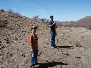
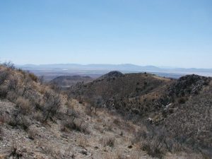
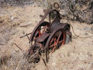
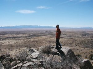
| Hike Summary: | This is a nice scenic hike through an area rich in mining history. Large concrete mill remins stand right next to the road, and mine tailing piles dot the landscape. Whitetail deer, Javelinas, and the typical gound squirrels, rabbits and birds abound. There is a beautiful spring running from the Mascot Mine, which is about half way up the dirt road, sitting on the North side. The roads are badly ruttted, and it will take a serious 4x4 if you want to drive this route. It begins at about 4,200 feet, and crests out at over 6,500 feet. WARNING: Do not park your car or get out and walk before you get to the BLM gate. All land before the gate is private, and the land owners are NOT friendly. |


There are no comments yet.