Talladega National Forest - Chinnabee Silent Trail - Member Hike
| Hike Name: | Talladega National Forest - Chinnabee Silent Trail |
|---|---|
| Country: | United States |
| State: | Alabama |
| Nearby Town: | Oxford |
| Rating: |  |
| Directions: | Lake Chinnabee Recreation Area - From Talladega, travel 7 miles northeast on State Road 21, 12 miles east on County Road 96, 2 miles southwest on Forest Service Road 646. |
| Total Hike Distance: | 1.50 miles |
| Hike Difficulty: | Moderate |
| Permit Required: | No |
| Hike Type: | In & Out, Backtrack Hike |
| Hike Starts/Ends: | Lake Chinnabee Recreation Area |
| Trails Used: | Chinnabee Silent Trail |
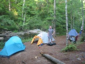
| Backcountry Campsites: | Yes |
| Backcountry Water Sources: | Streams, Rivers |
| Management: | U.S. Forest Service |
| Contact Information: | USDA Forest Service National Forests in Alabama 2946 Chestnut Street Montgomery, AL 36107 Phone: 334-832-4470 FAX: 334-241-8111 |
| Best Season: | Summer |
| Users: | Hikers, Dogs |
| Road Conditions: | Primary Paved Roads, Secondary Paved Roads |
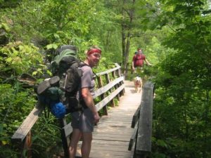
| Hike Summary: | The Chinnabee Silent Trail is a 3.7 mile route built from 1973 to 1976 by Boy Scout Troop 29. The Scouts were all students at the Alabama Institute for the Deaf and Blind which is how the trail got its name. The path climbs gradually along the banks of Cheaha Creek and passes a shelter and a series of waterfalls and pools - the best being Cheaha Falls. Although the Chinnabee Silent Trail is a pleasant hike year round, shoot for the summer months when you can take advantage of the swimming holes like the locals do. |


There are no comments yet.