Sipsey Wilderness Area - Member Hike
| Hike Name: | Sipsey Wilderness Area |
|---|---|
| Country: | United States |
| State: | Alabama |
| Nearby Town: | Double Springs |
| Rating: |  |
| Directions: | Since most of the driving is on back dirt and gravel roads I was necessary to get very detailed instructions from persons intimately familiar with the area. |
| Total Hike Distance: | 10.00 miles |
| Hike Difficulty: | Moderate to Difficult |
| Permit Required: | No |
| Hike Type: | In & Out, Backtrack Hike |
| Hike Starts/Ends: | Varies |
| Trails Used: | None almost entire travel was bush whacking. Primarily in the Quillan Creek Parker Branch Areas |
| Backcountry Campsites: | No |
| Backcountry Water Sources: | Streams, Rivers, Springs |
| Management: | None |
| Contact Information: | http://members.aol.com/sipseywilderness/main.htm http://www.briartech.com/sipseyonepagea.pdf 1dayhiker@gmail.com |
| Best Season: | Spring, Summer, Fall |
| Users: | Hikers |
| Road Conditions: | Maintained Gravel or Dirt Roads |
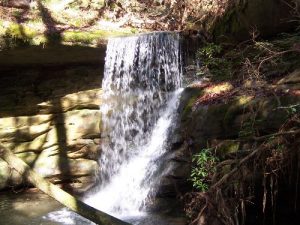
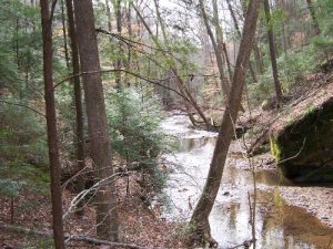
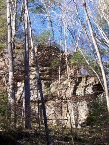
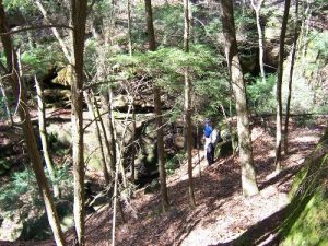
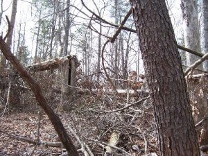
| Hike Summary: | The Sipsey Wilderness Area is a wild and beautiful ly rugged places. Abundant water supplies through river, creek, and branch systems throughout the area bottoms. Elevations to 800+ ft. with many rock bluffs. Excellent photo opportunities abound. Due to hurricane damage in the Wilderness Area GPS is recommended as are fellow backpackers. Not the kind of place to become hurt or lost in. |


There are no comments yet.