Vogel State Park - Trahlyta Lake Trail - Member Hike
| Hike Name: | Vogel State Park - Trahlyta Lake Trail |
|---|---|
| Country: | United States |
| State: | Georgia |
| Nearby Town: | Dahlonega |
| Rating: |  |
| Directions: | (Vogel State Park): From Dahlonega (and the KFC at the junction of 19 N / 60 N / 9N), follow 19 N / 60 N / 9N for 8.1 miles where 60 North breaks off from 19N/9N. Continue on 19 N / 9 N for 5.2 miles. Here 129 N / 11 N / 19 N run merge and run together for 10.5 miles to Vogel State park which is on the left. Vogel State Park is 11 miles south of Blairsville on U.S. Highway 19/129. |
| Total Hike Distance: | 1.00 miles |
| Hike Difficulty: | Easy |
| Permit Required: | No |
| Hike Type: | Roundtrip, Loop Hike |
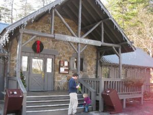
| Hike Starts/Ends: | Visitor's Center |
| Trails Used: | Trahlyta Lake Trail |
| Backcountry Campsites: | No |
| Backcountry Water Sources: | Streams, Lakes |
| Management: | State Park Service |
| Contact Information: | Vogel State Park 7485 Vogel State Park Road Blairsville, GA 30512 (706) 745-2628 |
| Best Season: | Winter, Spring, Summer, Fall |
| Users: | Hikers, Dogs |
| Road Conditions: | Primary Paved Roads, Secondary Paved Roads |
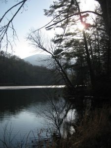
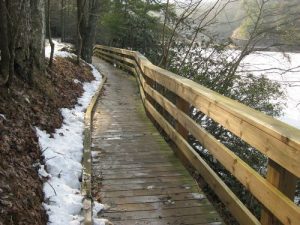
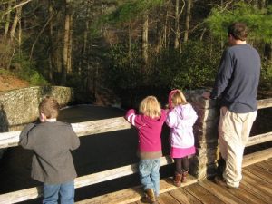
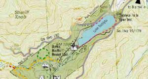
| Hike Summary: | This short loop hike at Vogel State Park circles the lake near the visitor's center and passes across a damn with a spillway that creates an impressive waterfall that can be seen from a side trail. Views of the mountains toward Blood Mountain can be seen in the distance and the trail is suitable for small children. There are wilderness trails that start near the campground, but if you are looking for a short hike to entertain the kids - this is perfect. |
Recommended
Trip Reports
There are no Trip Reports yet.


There are no comments yet.