Slate Run Metro Park – Covered Bridge Trail - Member Hike
| Hike Name: | Slate Run Metro Park – Covered Bridge Trail |
|---|---|
| Country: | United States |
| State: | Ohio |
| Nearby Town: | Canal Winchester |
| Rating: |  |
| Directions: | From Canal Winchester, head south on Canal Winchester South Road / Winchester Southern Road for approximately 5 miles and the park entrance will be on the right. |
| Total Hike Distance: | 1.50 miles |
| Hike Difficulty: | Easy |
| Permit Required: | No |
| Hike Type: | In & Out, Backtrack Hike |
| Hike Starts/Ends: | Buzzard’s Roost Parking Lot |
| Trails Used: | Covered Bridge and Shagbark Trails |
| Backcountry Campsites: | No |
| Backcountry Water Sources: | None |
| Management: | Other |
| Contact Information: | Metro Parks 1069 West Main Street Westerville, Ohio 43081 info@metroparks.net (614) 891-0700 |
| Best Season: | Winter, Spring, Summer, Fall |
| Users: | Hikers, Dogs |
| Road Conditions: | Primary Paved Roads |
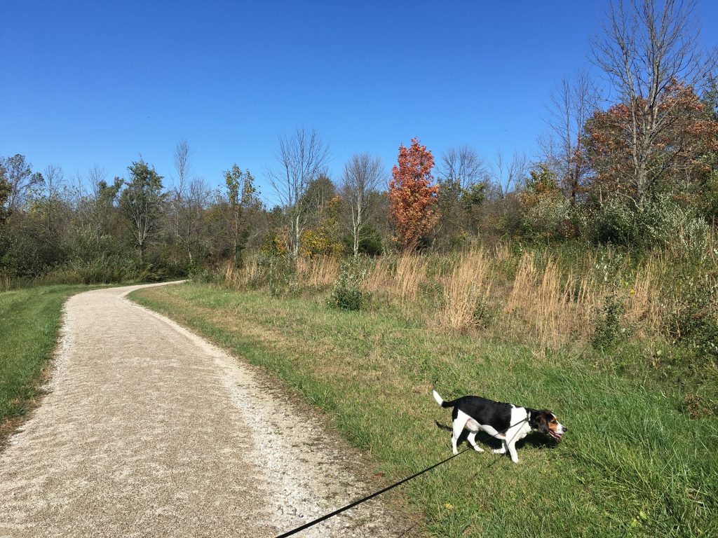
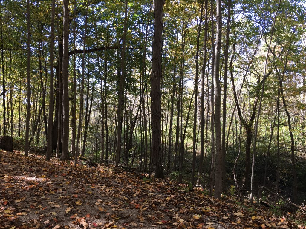
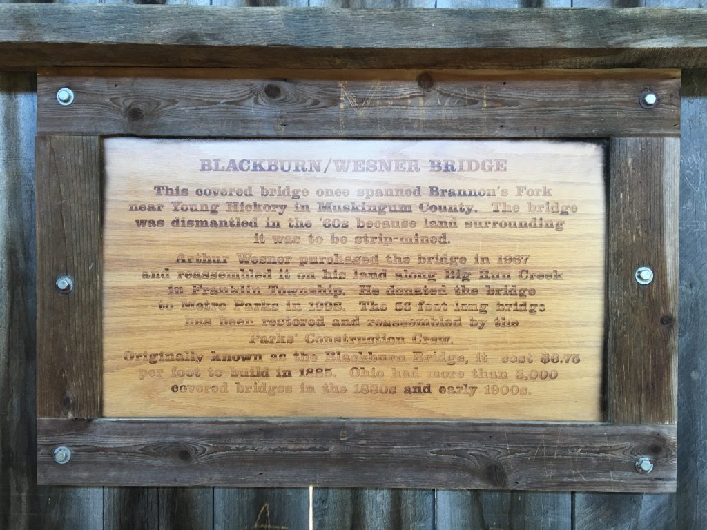
| Hike Summary: | This 1,705-acre park features grasslands, meadows, wetlands, and forests. The two trails on this particular hike are pet friendly and traverse through fields and woods and feature a covered bridge. The bridge was built in 1885 in Muskingum County and then later donated, restored, and reassembled on park grounds. |


There are no comments yet.