Rainbow Falls Trail - Member Hike
| Hike Name: | Rainbow Falls Trail |
|---|---|
| Country: | United States |
| State: | Tennessee |
| Nearby Town: | Gatlinburg |
| Rating: |  |
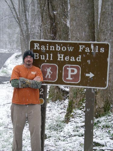
| Directions: | Turn left at light # 8, and continue up to the Rainbow Falls Parking area. I think the road is called Orchard Creek Rd or something. |
| Total Hike Distance: | 2.80 miles |
| Hike Difficulty: | Easy to Moderate |
| Permit Required: | No |
| Hike Type: | In & Out, Backtrack Hike |
| Hike Starts/Ends: | At Trailhead |
| Trails Used: | Rainbow Falls Trail |
| Backcountry Campsites: | No |
| Backcountry Water Sources: | Streams, Springs, Snow |
| Management: | National Park Service |
| Contact Information: | Unknown |
| Best Season: | Spring, Summer, Fall |
| Users: | Hikers |
| Road Conditions: | Primary Paved Roads, Secondary Paved Roads |
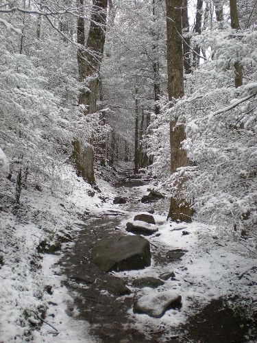
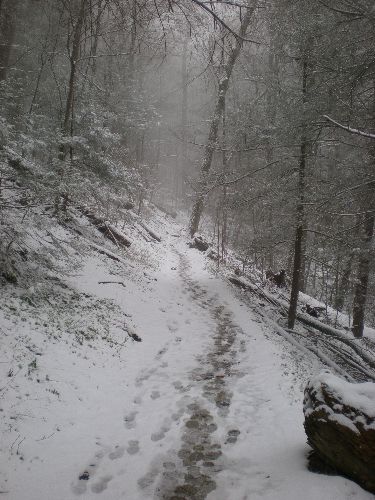
| Hike Summary: | A fairly easy to moderate trail that actually proceeds all the way to the LeConte Lodge at the summit. After 2.8 miles you are rewarded with the beautiful Rainbow Falls. I lucked up when I hiked to the falls, it had been snowing the night before and was still snowing on the mountain. It was the most beautiful hike I've ever been on. |


There are no comments yet.