Quehanna Trail - West Loop - Member Hike
| Hike Name: | Quehanna Trail - West Loop |
|---|---|
| Country: | United States |
| State: | Pennsylvania |
| Nearby Town: | Dubois |
| Rating: |  |
| Directions: | Exit I-80 at exit 111, then head north on PA-153 for 2.2 miles. Take a right on Mud Run Road and follow it for 2 miles to Parker Dam State Park. Trailhead is on the right side of road just before you get to camping area inside of the park. |
| Total Hike Distance: | 19.12 miles |
| Hike Difficulty: | Easy to Moderate |
| Permit Required: | No |
| Hike Type: | Roundtrip, Loop Hike |
| Hike Starts/Ends: | Parker Dam State Park |
| Trails Used: | Quehanna Trail, Quehanna Cross Connector |
| Backcountry Campsites: | No |
| Backcountry Water Sources: | Streams, Springs |
| Management: | State Forest Service |
| Contact Information: | Parker Dam State Park 28 Fairview Road Penfield, PA 15849-9799 814-765-0630 Manager: Beth Grove http://www.dcnr.state.pa.us/stateparks/parks/parkerdam.aspx |
| Best Season: | Spring, Summer, Fall |
| Users: | Hikers, Dogs |
| Road Conditions: | Primary Paved Roads, Maintained Gravel or Dirt Roads |
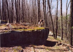
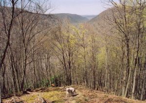
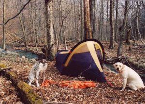
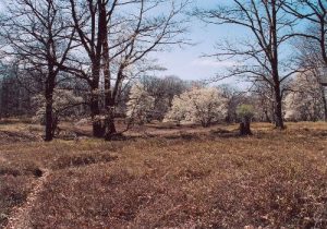
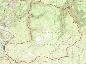
| Hike Summary: | Western Loop of the Quehanna Trail proper (70+ miles) via the use of the cross connector. A good 8 hour hike where water is never more than 20 minutes away, except for between Trout Run and Little Medix Run. Parts of the trail can be rocky, so watch your ankles. Trail also follows dirt roads for about 3-4 miles of its length, but these sections are mixed in well. Good fishing holes could be found along Medix Run, Laurel Run, and Little Laurel Run. My favorite part of the hike was between Medix and Laurel Runs and along Saunders Run. My compliments to the group that manages the trail as the blazes were always visible even when the trail was thin or disguised by dead leaves. I'd also like to thank Scott Adams for the .tpo map and good info on http://www.pahikes.com/ |


There are no comments yet.