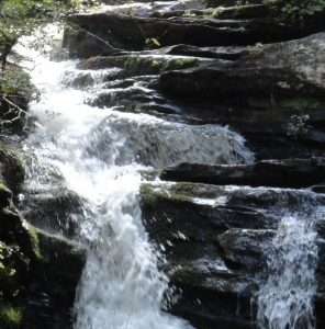
Pigpen and Licklog Falls - Member Hike
| Hike Name: | Pigpen and Licklog Falls |
|---|---|
| Country: | United States |
| State: | South Carolina |
| Nearby Town: | Walhalla |
| Rating: |  |
| Directions: | From Walhalla, take SC 28 west for about 10 miles til the intersection with SC 107. Take the right fork onto 107. After a couple miles you'll pass Oconee St. Park on the right. Shortly after, take a left onto Village Creek Rd. After a couple miles, Nicholson Ford Rd. will split to the right in a turn. Take this gravel road until it forks and continue right. The road dead ends in the parking lot. |
| Total Hike Distance: | 1.00 miles |
| Hike Difficulty: | Easy to Moderate |
| Permit Required: | No |
| Hike Type: | In & Out, Backtrack Hike |
| Hike Starts/Ends: | Nicholson Ford Road |
| Trails Used: | Foothills Trail, Chattooga Trail. |
| Backcountry Campsites: | Yes |
| Backcountry Water Sources: | Streams, Rivers |
| Management: | U.S. Forest Service |
| Contact Information: | Unknown |
| Best Season: | Winter, Spring, Summer, Fall |
| Users: | Hikers |
| Road Conditions: | Primary Paved Roads, Secondary Paved Roads |
| Hike Summary: | This hike can vary in length depending on the direction you hike in. We hiked in on the Foothills. From Nicholson Ford Road, it descends down to the Chattooga river, where you pass Pigpen and Licklog falls. |
Recommended
Trip Reports
| Date | Rating | Duration | Hiker | |
|---|---|---|---|---|

|
September 8, 2012 |  |
2 hours, 30 minutes | Jess F |

|
April 10, 2011 |  |
2 days | jerbearsc |


 Trail Map For This Area
There are no comments yet.