Oxbo Trail - Member Hike
| Hike Name: | Oxbo Trail |
|---|---|
| Country: | United States |
| State: | Georgia |
| Nearby Town: | Roswell |
| Rating: |  |
| Directions: | From GA 400: Exit on Holcomb Bridge Road, Exit 7B if traveling North, Exit 7 if traveling South. Go west on Holcomb Bridge until you hit Highway 9. Take a left on Hwy 9 and travel approximantley 2 miles until you hit Atlanta St (hwy 9). Take a left on Atlanta St, go through one light, Oak Street, and take your next left, Oxbo Road, there is a gas station on the corner. Travel approx. 1 mile and then turn left on Dobbs Drive. Continue through park until you see your first right, take this right and head down to the fields. Address: 160 Dobbs Dr Roswell, GA 30075 |
| Total Hike Distance: | 2.00 miles |
| Hike Difficulty: | Easy to Moderate |
| Permit Required: | No |
| Hike Type: | Roundtrip, Loop Hike |
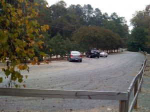
| Hike Starts/Ends: | Waller Park |
| Trails Used: | Oxbo Trail |
| Backcountry Campsites: | No |
| Backcountry Water Sources: | None |
| Management: | City Park Service |
| Contact Information: | Roswell Recreation and Parks 38 Hill Street Roswell, GA 30075 770-641-3727 http://www.roswellgov.com/ |
| Best Season: | Winter, Spring, Summer, Fall |
| Users: | Hikers, Bikers, Dogs |
| Road Conditions: | Primary Paved Roads, Secondary Paved Roads |
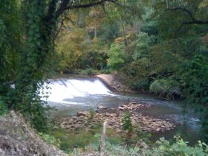
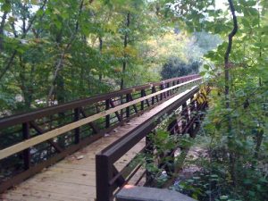
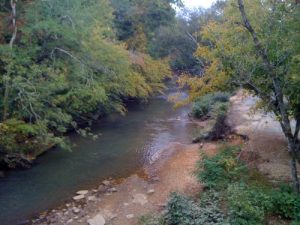
| Hike Summary: | The Oxbo Trail runs between Waller and Grimes Bridge Parks with an extension that follows Waller Creek for about a mile. It has a mix of dirt, paved, and crushed stone trails and can be accessed from either park or from a parking area along Grimes Bridge Road. A bridge separates the Oxbo Trail from the Vickery Creek Trail system (which is managed by the National Park Service), so a longer hiking option is available if you join the two trail systems. Be sure to check out the waterfall along Oxbo Road. It's impressive from the bridge but easiest to see in the winter months. |
Recommended
Trip Reports
There are no Trip Reports yet.


There are no comments yet.