Hoye-Crest - Member Hike
| Hike Name: | Hoye-Crest |
|---|---|
| Country: | United States |
| State: | Maryland |
| Nearby Town: | Aurora, West Virginia |
| Rating: |  |
| Directions: | From Aurora, West Virginia, head east on US-50 for approximately 1.5 miles before turning right onto WV-24. Drive another 5.5 miles, and take a slight right onto US-219. Drive another 1.0 miles and the trail head / logging road will be on the left. There are turn-out areas on either side of the road. |
| Total Hike Distance: | 2.20 miles |
| Hike Difficulty: | Easy |
| Permit Required: | No |
| Hike Type: | In & Out, Backtrack Hike |
| Hike Starts/Ends: | Logging Road on US-219 |
| Trails Used: | Logging Road / Maryland High Point Trail |
| Backcountry Campsites: | No |
| Backcountry Water Sources: | None |
| Management: | Private Property |
| Contact Information: | The Logging Road / Maryland High Point Trail is located mostly within the Monongahela National Forest, while the high point itself is located on private property. Monongahela National Forest 200 Sycamore Street Elkins, West Virginia 26241 Phone: (304) 636-1800 Cheat-Potomac Ranger District HC 59 Box 240 Petersburg, West Virginia 26847 Phone: (304) 257-4488, ext. 0 |
| Best Season: | Winter, Spring, Summer, Fall |
| Users: | Hikers |
| Road Conditions: | Primary Paved Roads |
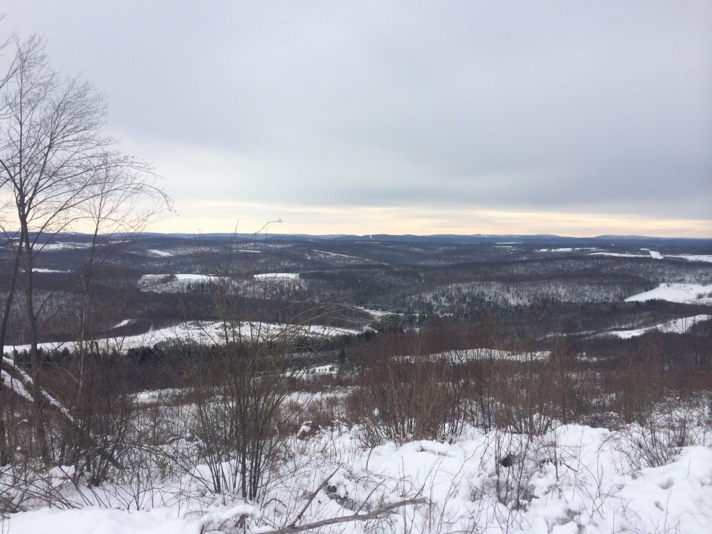
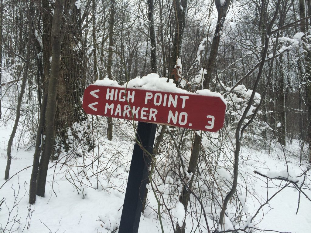
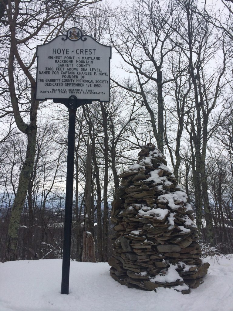
| Hike Summary: | Hoye-Crest, a summit along Backbone Mountain with an elevation of 3,360 feet, is the highest natural point in Maryland. The hike to the summit is a relatively easy 1.1-mile climb. There are numerous trees with red spray painted "HP" markings along the trail so it easy to find your way, even when the ground is covered in snow. The elevation gain is approximately 712 feet. |


There are no comments yet.