Grayson Highlands State Park - Member Hike
| Hike Name: | Grayson Highlands State Park |
|---|---|
| Country: | United States |
| State: | Virginia |
| Nearby Town: | Mouth of Wilson |
| Rating: |  |
| Directions: | The park is on U.S. 58 midway between Independence and Damascus and is reached from I-81 at Exit 45 in Marion; turn south on Route 16 and travel 33 miles to US 58 in the community of Volney. Turn right onto US 58. Travel eight miles to the park's entrance. From I-77, take Hillsville Exit 14 to U.S. 58. Travel west on U.S. 58, 40 miles to Volney. Turn left to stay on U.S. 58 and go eight miles to the park entrance. Drive Time : Northern Va., 6.5 hours; Richmond, 5.5 hours; Tidewater, Norfolk, Virginia Beach, 7.5 hours; Roanoke, 2.5 hours |
| Total Hike Distance: | 7.00 miles |
| Hike Difficulty: | Moderate to Difficult |
| Permit Required: | No |
| Hike Type: | Roundtrip, Loop Hike |
| Hike Starts/Ends: | At the Amphitheater |
| Trails Used: | Stampers Branch Trail, Twin Pinnacles Trail, Big Pinnacle Trail, Rhododendron Trail, AT, AT Spur Trail, Horse Trail East. |
| Backcountry Campsites: | No |
| Backcountry Water Sources: | Streams |
| Management: | State Park Service |
| Contact Information: | Grayson Highlands State Park 829 Grayson Highland Lane, Mouth of Wilson, VA 24363 phone: (276) 579-7092 email: graysonhighlands. |
| Best Season: | Winter, Spring, Summer, Fall |
| Users: | Hikers, Bikers, Dogs, Horses |
| Road Conditions: | Primary Paved Roads, Secondary Paved Roads |
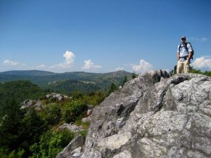
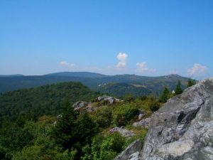
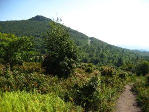
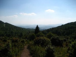
| Hike Summary: | Park Size - 4,822 acres. Various elevation: Entrance - 3,698 feet; Visitor Center - 4,953 feet; Little Pinnacle - 5,089 feet. Average daily temperature during the main season is between 50-70 degrees Fahrenheit during the day and between 30-59 degrees Fahrenheit at night. The park can have snow as early as September and into late May. During late spring and early fall, temperatures well below freezing (i.e. between 15 to 25 degrees Fahrenheit) are not unusual. Also the wind chill is a major factor in the temperature difference from low-lying areas to the high country. Wind speeds at 4,000 feet can exceed 40 mph. Started out at the Amphitheater and onto the visitors center via Stampers Branch Trail. Easy to start, then moves to moderatly difficult. From the visitors center to Little Pinnacle and Big Pinnacle then down to the section of the AT. Short hike along the AT, down the AT Spur Trail to the Horse Trail back to camp. |


There are no comments yet.