Francis Marion National Forest - Sewee Shell Mound - Member Hike
| Hike Name: | Francis Marion National Forest - Sewee Shell Mound |
|---|---|
| Country: | United States |
| State: | South Carolina |
| Nearby Town: | Charleston |
| Rating: |  |
| Directions: | From Charleston, take U.S. Highway 17 north to Doar Road (SC Route 432-S). Turn right and go 2.5 miles to Salt Pond Road. Turn right on to Forest Road 243 and go 1/2 mile to the trailhead (which is on your right). |
| Total Hike Distance: | 1.00 miles |
| Hike Difficulty: | Easy |
| Permit Required: | No |
| Hike Type: | Roundtrip, Loop Hike |
| Hike Starts/Ends: | Forest Road 243 |
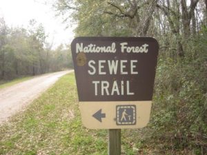
| Trails Used: | Sewee Shell Mound Interpretive Trail |
| Backcountry Campsites: | No |
| Backcountry Water Sources: | None |
| Management: | U.S. Forest Service |
| Contact Information: | Sewee Visitor And Environmental Ed Center 5821 U.S. Highway 17 North Awendaw, SC 29429 843-928-3368 |
| Best Season: | Winter |
| Users: | Hikers, Dogs |
| Road Conditions: | Primary Paved Roads, Secondary Paved Roads, Maintained Gravel or Dirt Roads |
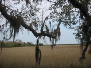
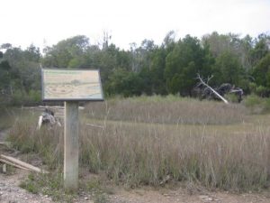
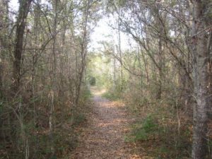
| Hike Summary: | This is a loop hike that visits two ancient Indian sites that date back 4000 years. Hurricane Hugo devastated this area in 1989, and a wildfire ravaged the downed timber two years later in 1991. You can still see the remnants of the fire. The loop trail starts in the recovering coastal wood, then breaks out into the salt marsh on occassion with views to the Atlantic Intercoastal Waterway. It is a pleasant and interesting hike along the coast. Some other notes: - the hike is flat as a pancake - very easy - the main trail is a loop with two spurs leading to Indian sites. Backtrack from the spurs to the main loop. - at both the Oyster Shell Ring and Clam Shell Mound there were hundreds of tiny crabs roaming the ground (that disappeared into tiny holes when I approached). My dog would have freaked out if I had him with me. The ground was moving with every step I took. - I would not want to hike this area in the summer - too buggy - take insect repellent in warm weather - the views out to the Intracoastal Waterway are very pretty, grassy flat area with the waterway in the background - the Forest Service has placed somewhat worn but very informative trail signs on the route explaining details on the route and the Indian sites |
Recommended
Trip Reports
There are no Trip Reports yet.


 Trail Map For This Area
There are no comments yet.