Cumberland Knob - Member Hike
| Hike Name: | Cumberland Knob |
|---|---|
| Country: | United States |
| State: | North Carolina |
| Nearby Town: | Mount Airy |
| Rating: |  |
| Directions: | Blue Ridge Parkway milepost 217. |
| Total Hike Distance: | 2.60 miles |
| Hike Difficulty: | Moderate to Difficult |
| Permit Required: | No |
| Hike Type: | Roundtrip, Loop Hike |
| Hike Starts/Ends: | Parking lot |
| Trails Used: | Gully Creek Trail and Cumberland Knob Trail |
| Backcountry Campsites: | No |
| Backcountry Water Sources: | Streams |
| Management: | National Park Service |
| Contact Information: | The Blue Ridge Parkway 199 Hemphill Knob Road Asheville, NC 28803 (828) 271-4779 www.nps.gov/blri |
| Best Season: | Spring, Fall |
| Users: | Hikers, Dogs |
| Road Conditions: | Primary Paved Roads |
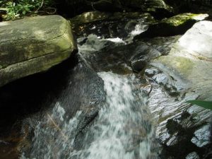
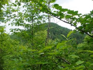
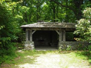
| Hike Summary: | Cumberland Knob Recreational Area was the birth place of the Blue Ridge Parkway. The parkway started here in 1935 and Cumberland Knob was the first recreational area on the parkway. For the hike, start in the parking lot and head towards the comfort station. In front of the comfort station, go left. Follow the Gully Creek Trail down with switchbacks for about 3/4 mile. When you reach Gully Creek, you will pass a few small waterfalls. This area is tricky as it was very damp and I slipped as I was crossing rocks a few times. After walking for about a mile, the incline starts. Follow the ascending switchbacks until you get to a fork in the trail. I chose to climb up to Cumberland Knob (at 2,860 feet) to the left, which added .1 of a mile to my trek. It was very uneventful and I can only assume that I was on the peak where the rest shelter was. There were no spectacular views and it was very anti-climatic. The rest of the way was a flat and a quick .2 mile jaunt to the picnic area. It was a nice day hike and I had a wonderful Father's day with my dog, but there were only a few obstructed views of the surrounding mountains. Great to be outdoors and good exercise, but uneventful. |
Recommended
Trip Reports
There are no Trip Reports yet.


 Trail Map For This Area
There are no comments yet.