Conasauga River - Member Hike
| Hike Name: | Conasauga River |
|---|---|
| Country: | United States |
| State: | Georgia |
| Nearby Town: | Blue Ridge |
| Rating: |  |
| Directions: | Follow GA-5 N to 1st Ave/Soule Bridge in East Ellijay. Then take GA-2, Gates Chapel Rd and Conasauga Rd/Old CCC Camp Rd to Betty's Gap |
| Total Hike Distance: | 3.40 miles |
| Hike Difficulty: | Moderate to Difficult |
| Permit Required: | No |
| Hike Type: | In & Out, Backtrack Hike |
| Hike Starts/Ends: | Betty Gap |
| Trails Used: | Conasauga River Trail |
| Backcountry Campsites: | Yes |
| Backcountry Water Sources: | Streams, Rivers |
| Management: | U.S. Forest Service |
| Contact Information: | Cohutta Wilderness Area National Forest Service 401 Old Ellijay Road Chatsworth, GA 30705 (706) 695-6736 |
| Best Season: | Winter, Spring, Summer, Fall |
| Users: | Hikers, Dogs |
| Road Conditions: | Primary Paved Roads, Secondary Paved Roads, Maintained Gravel or Dirt Roads |
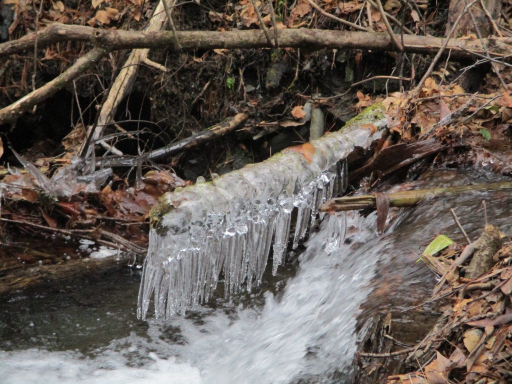
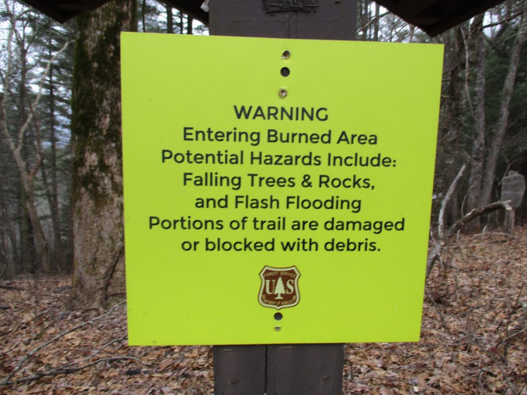
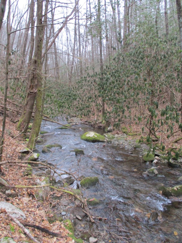
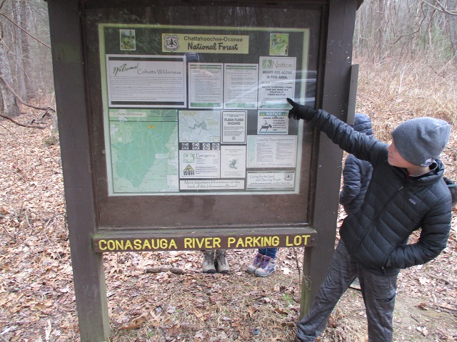
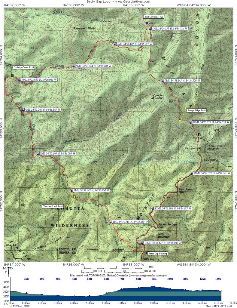
| Hike Summary: | This is a short section of the Conasauga River Trail that you can follow 1.7 miles down from Betty Gap to the junction of Popular Springs Branch, Birch Creek, and the Conasauga River Trail. The point where these streams intersect is interesting but there are limited flat areas for camping here if you are a backpacker. If you are day hiking, it is ~800 feet down to the junction of these streams and you will likely be hiking back out the way you came in. The alternative is to complete an ambitious 13 mile loop that follows the Conasuaga River to the Panther Creek Trail, then continues clockwise to skirt Cowpen and Betty Mountain before returning to Betty Gap. The fire that burned here in 2016 is still evident on the Conasauga River Trail, but don't underestimate the terrain in this area. It can be very challenging - at any time of the year. |

Recommended


Trip Reports
There are no Trip Reports yet.
There are no comments yet.