Canyon Falls - Member Hike
| Hike Name: | Canyon Falls |
|---|---|
| Country: | United States |
| State: | Michigan |
| Nearby Town: | L'Anse |
| Rating: |  |
| Directions: | From L’Anse, take US-41 South for approximately 9.5 miles and the roadside park / parking area will be on the right. |
| Total Hike Distance: | 1.00 miles |
| Hike Difficulty: | Easy |
| Permit Required: | No |
| Hike Type: | In & Out, Backtrack Hike |
| Hike Starts/Ends: | Roadside Park Parking Area |
| Trails Used: | Canyon Falls Trail |
| Backcountry Campsites: | No |
| Backcountry Water Sources: | Rivers |
| Management: | Other |
| Contact Information: | Michigan Department of Transportation State Transportation Building 425 West Ottawa Street P.O. Box 30050 Lansing, Michingan 48909 Phone: (517) 373-2090 https://www.michigan.gov/mdot/0,4616,7-151-68368---,00.html |
| Best Season: | Winter, Spring, Summer, Fall |
| Users: | Hikers, Dogs |
| Road Conditions: | Primary Paved Roads |
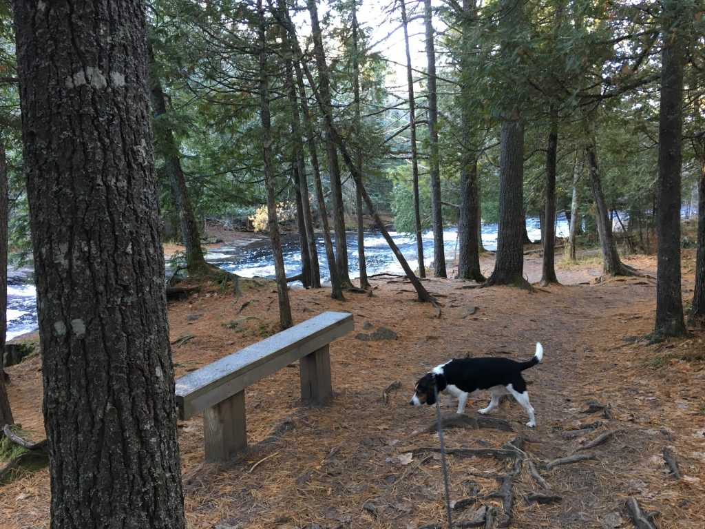
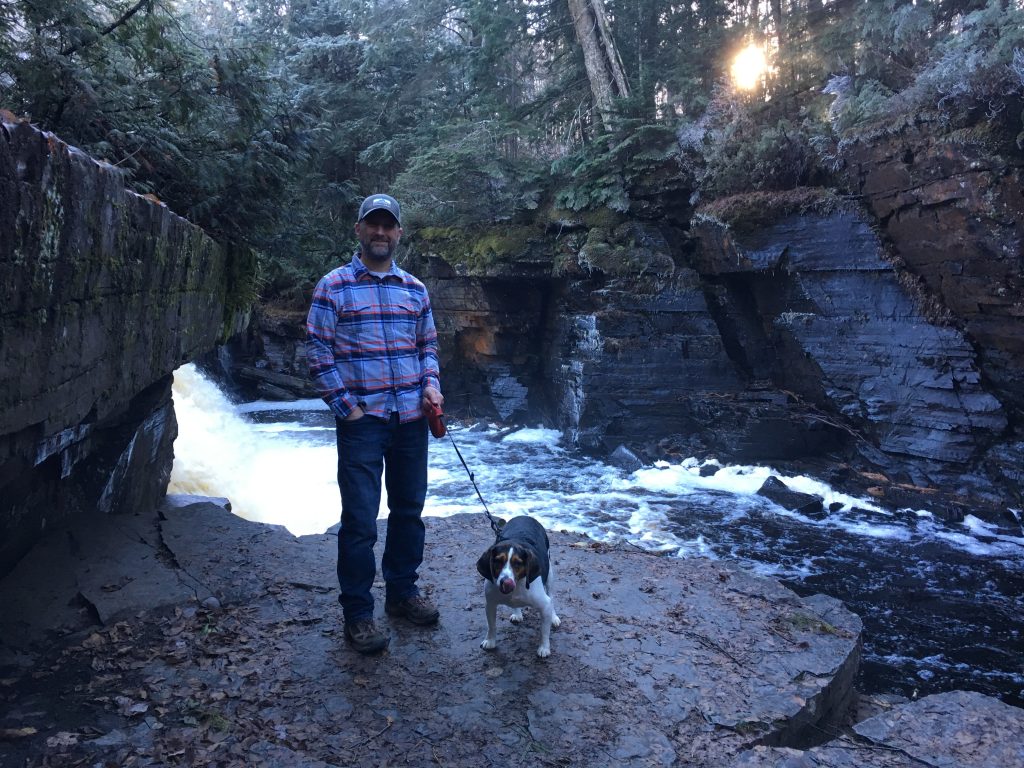
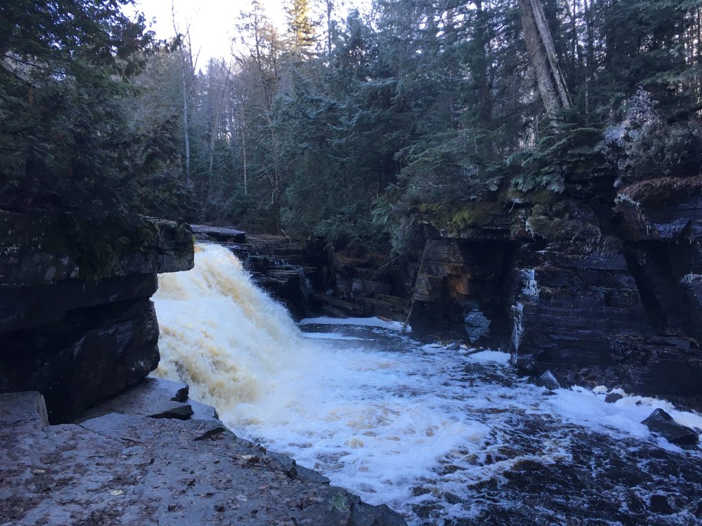
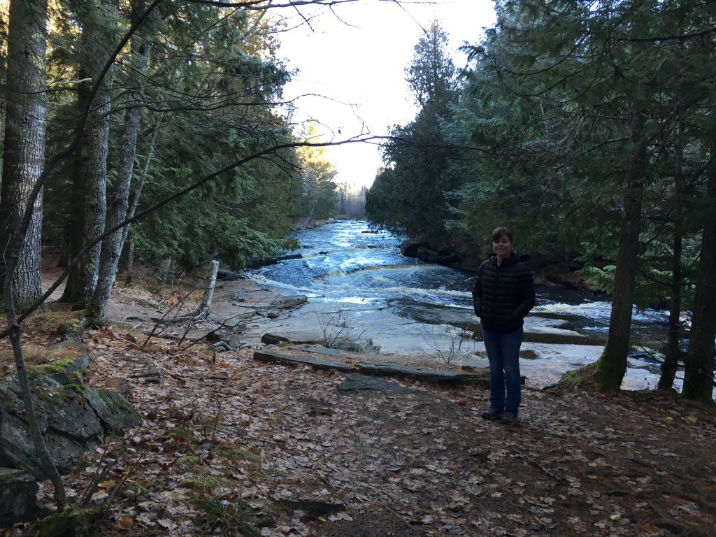
| Hike Summary: | Canyon Falls is one of more than 80 roadside parks maintained by the State of Michigan, and this particular one has a nice, well-worn trail that leads from the parking area to a series of small rapids and waterfalls along the Sturgeon River. Given Michigan’s topography, we were pleasantly surprised to discover such an impressive falls. The hike itself is along an easy, but scenic trail that leads to the falls. The distance to the falls is approximately one half mile, but apparently there is also an unmaintained trail that continues beyond the falls to an also fairly impressive box canyon, “by Michigan’s standards.” Had we known about the box canyon and had more time, we likely would have continued on, but we only learned about the hike by happenstance while we were on this trip: https://yourhikes.com/trips/michigan/mount-arvon/11-02-2018. |


There are no comments yet.