Brasstown Waterfall Series - Member Hike
| Hike Name: | Brasstown Waterfall Series |
|---|---|
| Country: | United States |
| State: | South Carolina |
| Nearby Town: | Long Creek, Westminster |
| Rating: |  |
| Directions: | Follow 76 out out of Westminster. Turn left onto Brasstown Rd. About 2 or 3 miles after the pavement ends you'll see a sign for Brasstown Falls Rd. Make a right here, and follow this road until it ends at a parking area lined with boulders. |
| Total Hike Distance: | 0.50 miles |
| Hike Difficulty: | Easy to Moderate |
| Permit Required: | No |
| Hike Type: | One-Way, Shuttle Hike |
| Hike Starts: | At the end of Brasstown Falls Rd. |
| Hike Ends: | At the Brasstown wafterfall series |
| Trails Used: | Brasstown falls trl. |
| Backcountry Campsites: | Yes |
| Backcountry Water Sources: | Streams |
| Management: | None |
| Contact Information: | Unknown |
| Best Season: | Winter, Spring, Summer, Fall |
| Users: | Hikers |
| Road Conditions: | Primary Paved Roads, Secondary Paved Roads, Maintained Gravel or Dirt Roads |
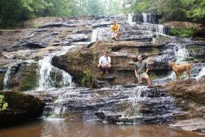
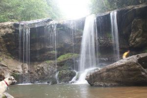
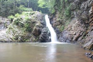
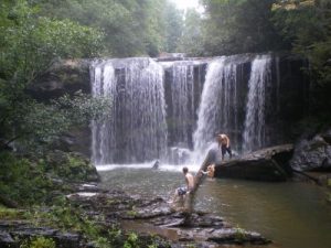
| Hike Summary: | Its a very short and easy hike until you get along side the waterfalls, then the terrain get a little tough. The trail gets narrow and kinda dangerous in a couple of spots. The Brasstown falls is a three part waterfall, all three parts being within about 2 tenths of a mile from each other. The first is the brasstown cascade, then the brasstown falls, then the brasstown sluice. These really are something to see, and the short hike makes them an easy hike for anyone. |


 Trail Map For This Area
One reply on “Brasstown Waterfall Series - Member Hike”
You missed the upper most fall. Which is hidden behind trees and can only be accessed by crossing Brasstown creek and heading upstream about 150 feet