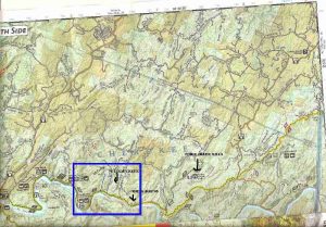
Benton MacKaye/ JMT Section Hike - Member Hike
| Hike Name: | Benton MacKaye/ JMT Section Hike |
|---|---|
| Country: | United States |
| State: | Tennessee |
| Nearby Town: | Reliance, Coker Creek |
| Rating: |  |
| Directions: | Beginning at the Ocoee/Hiwassee Ranger Station in Benton, Tennessee, drive east on Highway 64 for two miles. Go west on State Highway 30 for approximately 10 miles until you arrive in Reliance, Tennessee. Turn left on Highway 315. After you cross the bridge, turn right on Childers Creek Road. Continue on this road until you reach the Powerhouse Parking Lot. There are several places to park and hike prior to the powerhouse (note: powerhouse bridge is being renovated and is closed at this time). Pick up the trail at the bridge by either going around the bridge to the right or by following the steps. Trail is blazed white with either a diamond or another marking in white. |
| Total Hike Distance: | 6.00 miles |
| Hike Difficulty: | Easy to Moderate |
| Permit Required: | No |
| Hike Type: | In & Out, Backtrack Hike |
| Hike Starts/Ends: | Hiawassee River Powerhouse |
| Trails Used: | BMT, JMT |
| Backcountry Campsites: | No |
| Backcountry Water Sources: | Streams, Rivers, Springs |
| Management: | State Forest Service |
| Contact Information: | USDA Forest Service Ocoee/Hiwassee Ranger District Rt. 1 Box 348-D Benton, TN 37307 (423) 338-5201 Cherokee National Forest 2800 N. Ocoee St. Cleveland, TN 37320-2010 (423) 476-9700 |
| Best Season: | Winter, Spring, Summer, Fall |
| Users: | Hikers, Dogs |
| Road Conditions: | Secondary Paved Roads |
| Hike Summary: | Beginning at the powerhouse (bridge is being renovated and is closed) we hiked to the Narrows and back. Look for beaver in the water when you pass Wildcat Creek. Pretty easy hike with a 4 yr old. Just past Wildcat Creek there is a small cave on the left and up the hill to seek shelter in if needed. Just prior to the narrows is an obvious firepit and tree good for camping as well. Only one slight hill to climb, pay attention to the blazes as you can get off the trail pretty easily. When you see the white diamond with a left arrow look for a switchback to go up the hill, if you continue on along the water (my preference) you'll end up on the trail after Big Rock Island. Great scenery, wildlife, and rest areas. Trail is a bit sloppy in some places but very safe for children if you watch them. One water crossing to ford, very shallow and ther are a few stepping stones in place (you're welcome) to keep your feet dry. |


There are no comments yet.