Bear Island WMA - Member Hike
| Hike Name: | Bear Island WMA |
|---|---|
| Country: | United States |
| State: | South Carolina |
| Nearby Town: | Green Pond |
| Rating: |  |
| Directions: | Bear Island is located in eastern Colleton County near Green Pond, SC. The area is located off of US Highway 17, and is accessed by traveling approximately 13 miles down SC 26 ( Bennett's Point Rd.). The main entrance to the area is located on the left approximately 1 mile after crossing the Ashepoo River. A green highway sign marks the turn from US 17 onto Bennett's Point Road. |
| Total Hike Distance: | 5.00 miles |
| Hike Difficulty: | Easy |
| Permit Required: | No |
| Hike Type: | Roundtrip, Loop Hike |
| Hike Starts/Ends: | Parking area off Bennett's Point Rd. |
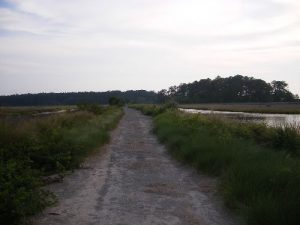
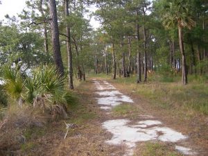
| Trails Used: | A series of marshland dikes crossing wooded islands. The trails have no name. |
| Backcountry Campsites: | No |
| Backcountry Water Sources: | None |
| Management: | Other |
| Contact Information: | Bear Island Wildlife Management Area, 585 Donnelly Drive, Green Pond, SC 29446; (843) 844-8957. Department of Natural Resources Bear Island Wildlife Management Area map (available at Titi Road entrance) http://www.dnr.sc.gov/managed/wild/bearisland/description.html |
| Best Season: | Winter, Spring, Fall |
| Users: | Hikers, Bikers |
| Road Conditions: | Secondary Paved Roads |
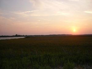
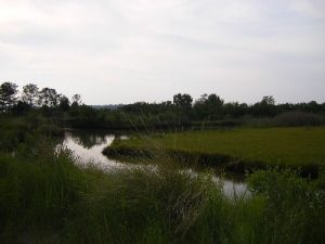
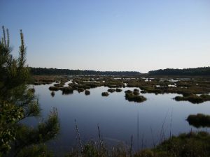
| Hike Summary: | Hiking the Bear Island WMA (wildlife management area) starts at various points along Bennett's Point Rd. For a map of the area turn left into the Bear Island WMA. This area is marked with a sign and is a DNR maintenance area on Ti-Ti Rd. The location should be obvious. There is a kiosk with free paper maps on the left just prior to a small bridge. The biking/hiking I did was on the right side of Bennett's Point Rd., approximately one tenth of a mile south of the Bear Island WMA "Kiosk/DNR maintenance area." The only signage for the place I parked was a small sign close to the ground that read "closed on Sundays." (There are more than one of these signs around Bear Island WMA.) The parking area is a grassy tree covered dirt lot just prior to the trail leading out over one of the many dikes. This trail is gated to vehicular traffic. You'll be hiking along old dikes in waterfowl-rich coastal marshes and through adjoining woodlands. Bear Island Wildlife Management Area features the state’s largest expanse of publicly owned and easily accessible marshland in the state. Be aware that the wildlife includes not only waterfowl and deer but also numerous alligators, wild boars and water moccasins (cotton mouths). These creatures are native to the area and are not zoo animals. The hiking areas are closed from November 1 through January 20, and on Sundays year-round. •Insect repellent is recommended. In warmer months it is imperative! •Bring your own drinking water |
Recommended
Trip Reports
There are no Trip Reports yet.
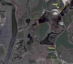

 Trail Map For This Area
One reply on “Bear Island WMA - Member Hike”
Looks interesting. Did you pull that map from Google Maps? Or is it something you got from the park website. Very interesting. Never seen one with so much land detail before.