Amicalola Falls/Creek Trail/West Ridge - Member Hike
| Hike Name: | Amicalola Falls/Creek Trail/West Ridge |
|---|---|
| Country: | United States |
| State: | Georgia |
| Nearby Town: | Ellijay |
| Rating: |  |
| Directions: | Hwy. 52 east |
| Total Hike Distance: | 3.00 miles |
| Hike Difficulty: | Easy to Moderate |
| Permit Required: | No |
| Hike Type: | In & Out, Backtrack Hike |
| Hike Starts/Ends: | Vistor Center |
| Trails Used: | Creek Trail/West Ridge/Spring Trail |
| Backcountry Campsites: | No |
| Backcountry Water Sources: | Streams |
| Management: | State Park Service |
| Contact Information: | www.gastateparks.org |
| Best Season: | Winter, Spring, Summer, Fall |
| Users: | Hikers |
| Road Conditions: | Primary Paved Roads |
| Hike Summary: | Nice hike with new or young hikers |
Recommended


Trip Reports
There are no Trip Reports yet.
One reply on “Amicalola Falls/Creek Trail/West Ridge - Member Hike”
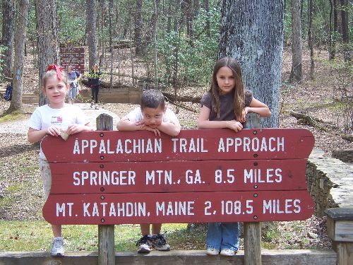
The Approach Trail is a tough hike (and about 8 miles) if you take it all the way to Springer. This is definitely a better route if you have kids.