Amicalola Falls - Member Hike
| Hike Name: | Amicalola Falls |
|---|---|
| Country: | United States |
| State: | Georgia |
| Nearby Town: | Dawsonville |
| Rating: |  |
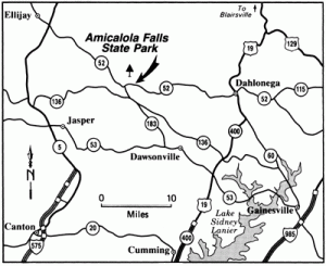
| Directions: | The State Park is located 15 miles northwest of Dawsonville on GA Hwy 52. Take Hwy 53 W to Hwy 183 N to Hwy 52 E/Dawsonville on GA Hwy 52. Then take Hwy 53 W to Hwy 183 N to Hwy 52 E. |
| Total Hike Distance: | 1.50 miles |
| Hike Difficulty: | Moderate to Difficult |
| Permit Required: | No |
| Hike Type: | In & Out, Backtrack Hike |
| Hike Starts/Ends: | Amicalola Falls Visitors Center |
| Trails Used: | Approach Trail |
| Backcountry Campsites: | No |
| Backcountry Water Sources: | Streams |
| Management: | State Park Service |
| Contact Information: | Amicalola Falls State Park 418 Amicalola Falls Road Dawsonville, GA 30534 (706) 344-1500 |
| Best Season: | Winter, Spring, Summer, Fall |
| Users: | Hikers, Dogs |
| Road Conditions: | |
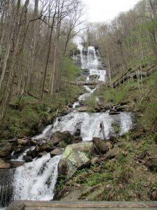
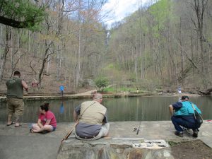
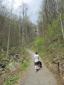
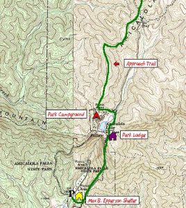
| Hike Summary: | This hike to Amicalola Falls starts at the visitor's center and ascends ~800 feet to the top of the falls after 1.5 miles. A portion of the 8.1 mile Approach Trail is used for this hike which provides access to the start of the Appalachian Trail at Springer Mountain. Start at the back of the visitor's center and walk through a large archway following the blue blazes. The Approach Trail intersects with a large parking area after a mile where there is a small pond at the base of the falls. Continue climbing along a paved path then over a series of stairs and bridges to cross the falls and eventually reach a platform near the top of Amicalola Falls. The park lodge is ahead to your right. You can either park a car at the top of the falls and shuttle back to the visitor's center, or turn around and hike back down to the base of the mountain. Either way the falls are an impressive sight and well worth the trip. |
Recommended
Trip Reports
There are no Trip Reports yet.


There are no comments yet.